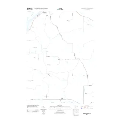
2013 Map of Durand South
USGS Topo · Published 2013About this map
The Chippewa River corridor dominates the northwest corner of this landscape, where the confluence with the Eau Galle River and the winding Thompson Slough define the riverine boundary of Durand. Moving south and east from the river, the terrain transitions into a complex of distinct coulees and uplands, characterized by numerous named valleys that suggest a deeply rooted agricultural history. Features such as Stanley Valley, Golden Valley, Owens Valley, and Weisenbeck Valley are tucked between prominent rises like Limekiln Bluff and the central Dividing Ridge. This network of valley floors and ridges is knit together by a grid of rural routes and family-named roads, including E Laneville Ave near the settlement of Laneville and Lindstrom Valley Rd, reflecting the persistent land-use patterns of Pepin County.
Find a feature on this map
45 named features on this map. Tap any name to fly to it.
Don’t see what you’re looking for? This feature index may not catch every label — zoom into the map to look around manually.
Map Details
Editions of this 2013 Durand South Map
This is the sole edition of this map. No revisions or reprints were ever made.
Other maps of this area

1929 · Durand
USGS Topo · 1:62,500

1932 · Wabasha
USGS Topo · 1:62,500

1932 · Durand
USGS Topo · 1:62,500

1932 · Alma
USGS Topo · 1:62,500

1935 · Arkansaw
USGS Topo · 1:48,000

1941 · Arkansaw
USGS Topo · 1:62,500

1942 · Arkansaw
USGS Topo · 1:62,500

1950 · Alma
USGS Topo · 1:62,500

1951 · Wabasha
USGS Topo · 1:62,500

1953 · Saint Paul
USGS Topo · 1:250,000