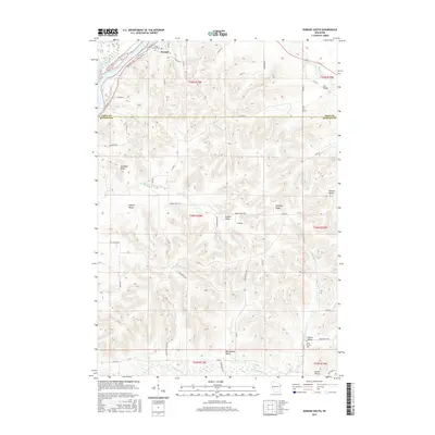
2015 Map of Durand South
USGS Topo · Published 2015About this map
Durand sits at the northern edge of this Wisconsin survey, where the Chippewa River curves around Thompson Slough. The landscape transitions south into a deeply carved network of valleys and coulees along the Pepin Co and Buffalo Co border. Notable family-named landmarks and local burial grounds like Saint Mary Cem and North Branch Cem provide essential anchor points for genealogical research in this rural pocket.
Find a feature on this map
60 named features on this map. Tap any name to fly to it.
Don’t see what you’re looking for? This feature index may not catch every label — zoom into the map to look around manually.
Map Details
Editions of this 2015 Durand South Map
This is the sole edition of this map. No revisions or reprints were ever made.
Other maps of this area

1929 · Durand
USGS Topo · 1:62,500

1932 · Wabasha
USGS Topo · 1:62,500

1932 · Durand
USGS Topo · 1:62,500

1932 · Alma
USGS Topo · 1:62,500

1935 · Arkansaw
USGS Topo · 1:48,000

1941 · Arkansaw
USGS Topo · 1:62,500

1942 · Arkansaw
USGS Topo · 1:62,500

1950 · Alma
USGS Topo · 1:62,500

1951 · Wabasha
USGS Topo · 1:62,500

1953 · Saint Paul
USGS Topo · 1:250,000