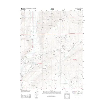
2013 Map of Durango East
USGS Topo · Published 2013About this map
Durango and its northeastern reaches are defined by a complex network of canyons and irrigation infrastructure along the Animas River corridor. The landscape transitions from the residential and civic hub of the city, featuring the La Plata County Fairgrounds and Animas Cemetery, toward the elevated Florida Mesa and the expansive San Juan National Forest. The geography of the early 21st century shows the continued importance of early water management, with the Animas Valley Consolidated Ditch, Florida Canal, and Reid Ditch carving through the terrain to support local development. Prominent landforms like Animas City Mountain and Missionary Ridge provide a natural backdrop to the area's growth. The map also captures the local aviation and transportation landscape, including the Val Air Airport and the Emerson-Parks Bridge spanning the Animas.
Find a feature on this map
83 named features on this map. Tap any name to fly to it.
Don’t see what you’re looking for? This feature index may not catch every label — zoom into the map to look around manually.
Map Details
Editions of this 2013 Durango East Map
This is the sole edition of this map. No revisions or reprints were ever made.
Other maps of this area

1898 · Durango
USGS Topo · 1:62,500

1907 · Durango
USGS Topo · 1:62,500

1908 · Ignacio
USGS Topo · 1:125,000

1908 · Durango
USGS Topo · 1:62,500

1924 · Ignacio
USGS Topo · 1:125,000

1945 · Durango
USGS Topo · 1:250,000

1953 · Durango
USGS Topo · 1:250,000

1954 · Durango
USGS Topo · 1:250,000

1961 · Durango
USGS Topo · 1:250,000

1963 · Durango
USGS Topo · 1:250,000