
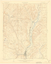
1908 Map of Durango
USGS Topo · Published 1908About this map
Durango serves as the industrial and transportation hub of this southwestern Colorado region, where the Animas River corridor facilitates a dense network of mountain railroads. The town's economy is anchored by the Durango Smelter and several mining operations tucked into the surrounding gulches, including the Boston Coal Mine near Perins and the Neglected Mine on the slopes of Monument Hill. The transportation landscape is particularly complex, featuring the Denver and Silverton Line alongside the Animas Valley Consolidated Ditch R. R.
Find a feature on this map
63 named features on this map. Tap any name to fly to it.
Don’t see what you’re looking for? This feature index may not catch every label — zoom into the map to look around manually.
Map Details
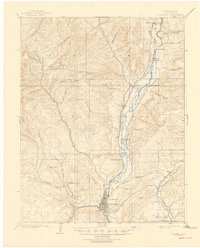
Editions of this 1908 Durango Map
3 editions found
Other maps of this area

1895 · La Plata
USGS Topo · 1:62,500

1897 · La Plata
USGS Topo · 1:62,500

1897 · Rico
USGS Topo · 1:62,500

1898 · Durango
USGS Topo · 1:62,500

1898 · Engineer Mountain
USGS Topo · 1:62,500

1898 · Rico
USGS Topo · 1:62,500

1899 · La Plata
USGS Topo · 1:62,500

1899 · Rico
USGS Topo · 1:62,500

1900 · Engineer Mountain
USGS Topo · 1:62,500

1900 · Needle Mountains
USGS Topo · 1:62,500