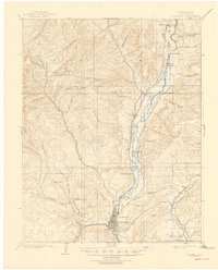
1908 Map of Durango
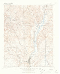
USGS Topo · Published 1946About this map
Durango serves as the industrial and logistical hub of this turn-of-the-century mountain landscape, defined by the convergence of heavy industry and vital water routes. The Animas River corridor dictates the region's geography, flanked by the Animas Valley Consolidated R. R. and the Denver and Silverton Line. This network supported intensive resource extraction, evidenced by the Durango Smelter near the riverbanks and the Boston Coal Mine tucked into the foothills near Perins Pk.
Find a feature on this map
64 named features on this map. Tap any name to fly to it.
Don’t see what you’re looking for? This feature index may not catch every label — zoom into the map to look around manually.
Map Details
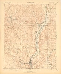
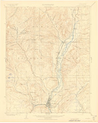
Editions of this 1908 Durango Map
3 editions found
Historical Maps of Durango Through Time
10 maps found

1898 Durango
La Plata County, CO
1907 Durango
La Plata County, CO
1908 Durango
La Plata County, CO
1945 Durango
La Plata County, CO

1953 Durango
La Plata County, CO
1954 Durango
La Plata County, CO

1961 Durango
La Plata County, CO

1963 Durango
La Plata County, CO
1966 Durango
La Plata County, CO

1983 Durango
La Plata County, CO