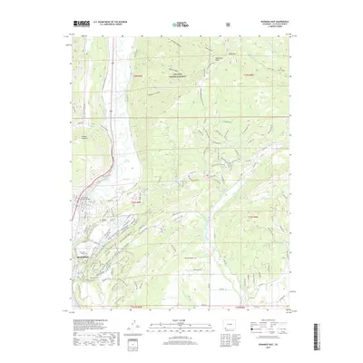
2019 Map of Durango East
USGS Topo · Published 2019About this map
Durango and the surrounding high-desert plateaus are captured here at the end of the 2010s, showing the modern interface between the city and the surrounding San Juan National Forest. The map documents the extensive network of irrigation and water management that has long defined the region, including the Animas Valley Consolidated Ditch, Florida Farmers Ditch, and the Florida Canal winding across the southern Florida Mesa. To the north, the sharp rise of Missionary Ridge and Animas City Mtn frame the valley. Educational and commemorative landmarks are well represented, from the sprawling campus of Fort Lewis College overlooking the river to the Animas City Cem and Florida Cem. This modern survey provides a precise record of late-period suburban expansion and recreational trail development through the canyons and gulches that border the Animas River and Florida River.
Find a feature on this map
132 named features on this map. Tap any name to fly to it.
Don’t see what you’re looking for? This feature index may not catch every label — zoom into the map to look around manually.
Map Details
Editions of this 2019 Durango East Map
This is the sole edition of this map. No revisions or reprints were ever made.
Other maps of this area

1898 · Durango
USGS Topo · 1:62,500

1907 · Durango
USGS Topo · 1:62,500

1908 · Ignacio
USGS Topo · 1:125,000

1908 · Durango
USGS Topo · 1:62,500

1924 · Ignacio
USGS Topo · 1:125,000

1945 · Durango
USGS Topo · 1:250,000

1953 · Durango
USGS Topo · 1:250,000

1954 · Durango
USGS Topo · 1:250,000

1961 · Durango
USGS Topo · 1:250,000

1963 · Durango
USGS Topo · 1:250,000