2023 Map of Durbin
USGS Topo · Published 2023About this map
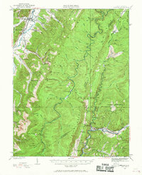
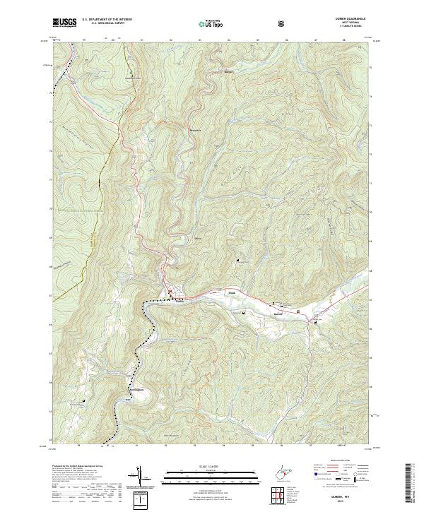
Durbin sits at the confluence where the East Fork and West Fork join to form the Greenbrier River, a central hub for this portion of the Monongahela National Forest. The landscape is defined by the high elevations of Back Allegheny Mountain and Gaudineer Knob, with the local economy and movement historically tied to the river valleys and the converted West Fork Rail Trl. Several small settlements including Bartow, Frank, and Nottingham are clustered along these watercourses, each accompanied by small community landmarks. Genealogists will find a high density of burial sites preserved here, including the Hauchen Cem, Goodsell Cem, and the Bethel Methodist Church Cem near the southern edge of the quadrangle. The map also identifies numerous natural springs, such as Cool Spring and Early Spring, highlighting the region's complex hydrology.
Find a feature on this map
50 named features on this map. Tap any name to fly to it.
Don’t see what you’re looking for? This feature index may not catch every label — zoom into the map to look around manually.
Map Details
Editions of this 2023 Durbin Map
This is the sole edition of this map. No revisions or reprints were ever made.
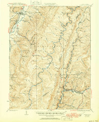
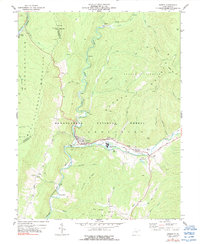
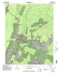
Historical Maps of Braucher Through Time
5 maps found