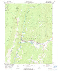
1977 Map of Durbin
USGS Topo · Published 1991About this map
Durbin sits at the convergence of mountain ridges and river valleys, serving as a focal point for the logging and rail heritage of Pocahontas County in the mid-1970s. The Chesapeake and Ohio railroad tracks follow the winding course of the Greenbrier River, passing through the industrial landscape of Frank and Bartow. This area is defined by the steep elevation of Back Allegheny Mountain and Burner Settlement Mountain, where Monongahela National Forest land meets local industry, evidenced by the Industrial Waste Ponds and a Substation. The map reveals a transition from these industrial zones to quiet mountain hollows like Hawchen Hollow and Reservoir Hollow. Local genealogy is well-represented through family-named sites such as Yeager Cemetery, Keller Cemetery, and Hauchen Cemetery, alongside community landmarks like Bethel Church and even a Drive-in Theater near the river fork.
Find a feature on this map
61 named features on this map. Tap any name to fly to it.
Don’t see what you’re looking for? This feature index may not catch every label — zoom into the map to look around manually.
Map Details
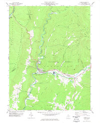
Editions of this 1977 Durbin Map
2 editions found
Other maps of this area

1889 · Beverly
USGS Topo · 1:125,000

1892 · Beverly
USGS Topo · 1:125,000

1901 · Monterey
USGS Topo · 1:125,000

1922 · Spruce Knob
USGS Topo · 1:48,000

1922 · Cass
USGS Topo · 1:48,000

1922 · Durbin
USGS Topo · 1:48,000

1924 · Cass
USGS Topo · 1:62,500

1924 · Durbin
USGS Topo · 1:62,500

1924 · Spruce Knob
USGS Topo · 1:62,500

1941 · Monterey
USGS Topo · 1:62,500