
1922 Map of Cass
USGS Topo · Published 1922About this map
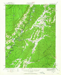
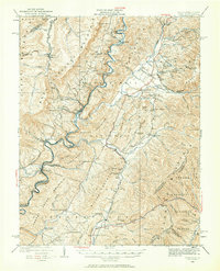
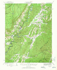
Cass serves as a focal point of industrial activity in the early 1920s, situated at the confluence of several vital timber and transport routes. This survey reveals a landscape defined by the Chesapeake and Ohio RR and the Greenbrier River RR, which carved paths through the high elevations of Allegheny Mountain and Mingo Mountain. The rail network supported remote mountain settlements like Spruce and Cloverlick, while connecting larger communities such as Greenbank and Dunmore.
Find a feature on this map
122 named features on this map. Tap any name to fly to it.
Don’t see what you’re looking for? This feature index may not catch every label — zoom into the map to look around manually.
Map Details
Editions of this 1922 Cass Map
4 editions found
Other maps of this area

1889 · Beverly
USGS Topo · 1:125,000

1891 · Huntersville
USGS Topo · 1:125,000

1892 · Beverly
USGS Topo · 1:125,000

1893 · Buckhannon
USGS Topo · 1:125,000

1894 · Huntersville
USGS Topo · 1:125,000

1896 · Buckhannon
USGS Topo · 1:125,000

1897 · Buckhannon
USGS Topo · 1:125,000

1901 · Monterey
USGS Topo · 1:125,000

1913 · Pickens
USGS Topo · 1:48,000

1915 · Pickens
USGS Topo · 1:62,500