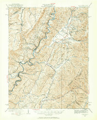
1922 Map of Cass
USGS Topo · Published 1962About this map
Monongahela National Forest dominates this landscape in the early 1920s, showing the high-elevation terrain of Pocahontas County before modern highway development. The Chesapeake & Ohio RR follows the bends of the Greenbrier River, serving the timber-focused settlement of Cass and smaller rail stops like Stony Bottom and Sitlington. The map reveals a dense network of mountain communities supported by numerous rural schools and churches, such as the Buffalo Ridge School and Hevener Church. In the southern reaches, the timber industry and agricultural pockets are evident near Dilleys Mill and Clover Lick. The survey detail captures the complex topography of the Allegheny Mountains, including peaks like Bald Knob and Thorny Flat, illustrating how the rail-and-river geography dictated the placement of every village and upland homestead during this era of intensive logging.
Find a feature on this map
123 named features on this map. Tap any name to fly to it.
Don’t see what you’re looking for? This feature index may not catch every label — zoom into the map to look around manually.
Map Details
Editions of this 1922 Cass Map
4 editions found

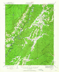
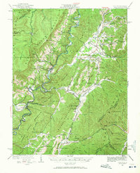
Other maps of this area

1889 · Beverly
USGS Topo · 1:125,000

1891 · Huntersville
USGS Topo · 1:125,000

1892 · Beverly
USGS Topo · 1:125,000

1893 · Buckhannon
USGS Topo · 1:125,000

1894 · Huntersville
USGS Topo · 1:125,000

1896 · Buckhannon
USGS Topo · 1:125,000

1897 · Buckhannon
USGS Topo · 1:125,000

1901 · Monterey
USGS Topo · 1:125,000

1913 · Pickens
USGS Topo · 1:48,000

1915 · Pickens
USGS Topo · 1:62,500