
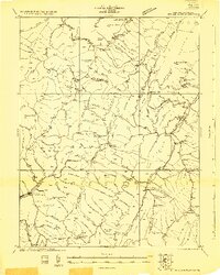
1922 Map of Spruce Knob
USGS Topo · Published 1922About this map
Spruce Knob dominates the high-altitude terrain of the Potomac Highlands in the early 1920s, anchoring a landscape defined by the ridgelines of Spruce Mountain and Alleghany Mountain. This survey reveals a deeply dispersed settlement pattern where life centered around small mountain gaps and isolated post offices like Osceola Po. The complex network of watercourses, including the North Fork and Gandy Creek, dictated the placement of dozens of rural schoolhouses such as Dam School and Hinkle School, which served families across the Randolph and Pendleton County borders. Unusual local names like The Burning and The Pigs Ear appear alongside established landmarks like the Staunton and Parkersburg Pike, providing a detailed look at the geography before modern development. Notable features like Blister Swamp and Smoke Camp Knob highlight the diverse topography preserved within the Monongahela National Forest during its formative years.
Find a feature on this map
117 named features on this map. Tap any name to fly to it.
Don’t see what you’re looking for? This feature index may not catch every label — zoom into the map to look around manually.
Map Details
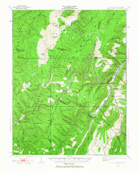
Editions of this 1922 Spruce Knob Map
3 editions found
Other maps of this area

1889 · Beverly
USGS Topo · 1:125,000

1892 · Beverly
USGS Topo · 1:125,000

1892 · Franklin
USGS Topo · 1:125,000

1894 · Staunton
USGS Topo · 1:125,000

1896 · Franklin
USGS Topo · 1:125,000

1901 · Monterey
USGS Topo · 1:125,000

1909 · Elkins
USGS Topo · 1:62,500

1920 · Onego
USGS Topo · 1:62,500

1921 · Onego
USGS Topo · 1:48,000

1922 · Onego
USGS Topo · 1:62,500