
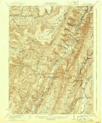
1922 Map of Onego
USGS Topo · Published 1922About this map
Monongahela National Forest dominates this topographic survey, revealing the complex ridge-and-valley landscape of the Allegheny Front in the early 1920s. The settlement pattern follows the narrow fertile strips along the North Fork of the South Branch Potomac River, where small communities like Mouth of Seneca and Onego serve as local hubs. This era reflects a landscape still largely defined by geography, where numerous one-room schoolhouses such as Seneca School, Roaring School, and Cave School are spaced within walking distance of the many family-named knobs and ridges.
Find a feature on this map
93 named features on this map. Tap any name to fly to it.
Don’t see what you’re looking for? This feature index may not catch every label — zoom into the map to look around manually.
Map Details
Editions of this 1922 Onego Map
2 editions found
Other maps of this area

1886 · St. George
USGS Topo · 1:125,000

1889 · Beverly
USGS Topo · 1:125,000

1891 · St. George
USGS Topo · 1:125,000

1892 · Beverly
USGS Topo · 1:125,000

1892 · Franklin
USGS Topo · 1:125,000

1895 · Piedmont
USGS Topo · 1:125,000

1896 · Franklin
USGS Topo · 1:125,000

1908 · Parsons
USGS Topo · 1:62,500

1916 · Davis
USGS Topo · 1:48,000

1918 · Davis
USGS Topo · 1:62,500