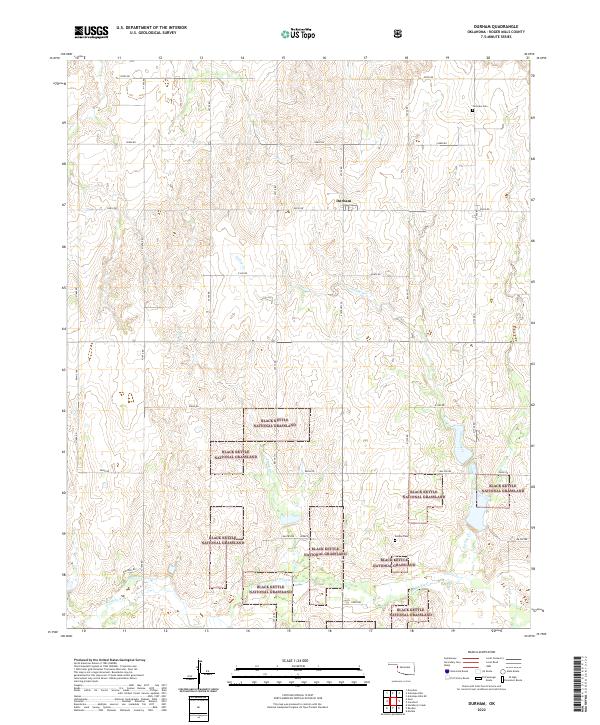
2022 Map of Durham
USGS Topo · Published 2022About this map
Durham sits within a landscape defined by the expansive Black Kettle National Grassland, a mosaic of public lands that characterizes much of Roger Mills County. The Washita River traverses the southern portion of the map, fed by north-south drainages including Trunk Cr and Turkey Creek. This rural topography is organized by a network of sectional roads such as Mathers Rd and E0800 Rd, which connect the isolated homesteads and small family burial grounds of the area. Genealogists will find the locations of Fairview Cem in the northeast and Lindley Cem further south, providing key spatial context for local families. The map illustrates the contemporary intersection of agricultural land management and the conservation of Oklahoma's high plains ecosystem.
Find a feature on this map
25 named features on this map. Tap any name to fly to it.
Don’t see what you’re looking for? This feature index may not catch every label — zoom into the map to look around manually.
Map Details
Editions of this 2022 Durham Map
This is the sole edition of this map. No revisions or reprints were ever made.
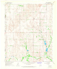
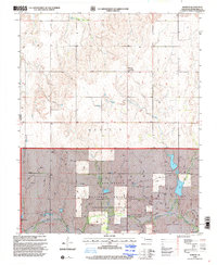
Historical Maps of Durham Through Time
3 maps found