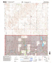
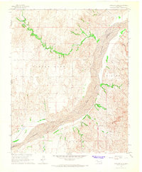
1998 Map of Durham
USGS Topo · Published 2001About this map
Durham serves as the primary settlement in this corner of Roger Mills County, situated just east of the Texas Oklahoma border. The landscape is characterized by the rolling draws of the Washita River basin, where Turkey Creek and Trunk Creek carve through the terrain before meeting the main river channel in the south. A significant portion of the southern map area is dedicated to the Black Kettle National Grassland, administered by the Forest Service, which preserves the shortgrass prairie ecosystem typical of the High Plains.
Find a feature on this map
12 named features on this map. Tap any name to fly to it.
Don’t see what you’re looking for? This feature index may not catch every label — zoom into the map to look around manually.
Map Details
Editions of this 1998 Durham Map
This is the sole edition of this map. No revisions or reprints were ever made.
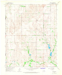
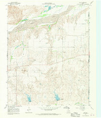
Other maps of this area

1954 · Amarillo
USGS Topo · 1:250,000

1955 · Clinton
USGS Topo · 1:250,000

1957 · Clinton
USGS Topo · 1:250,000

1958 · Amarillo
USGS Topo · 1:250,000
1961 · Reydon
USGS Topo · 1:62,500
1965 · Crawford
USGS Topo · 1:24,000
1966 · Antelope Hills NE
USGS Topo · 1:24,000
1966 · Antelope Hills
USGS Topo · 1:24,000
1966 · Durham
USGS Topo · 1:24,000
1967 · Gem
USGS Topo · 1:24,000