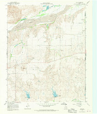
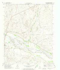
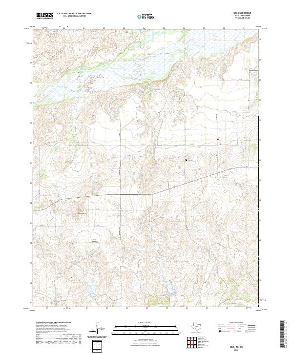
1967 Map of Gem
USGS Topo · Published 1969About this map
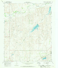
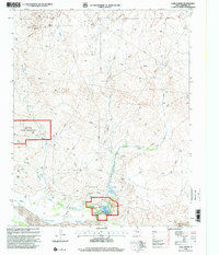
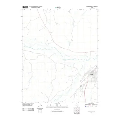
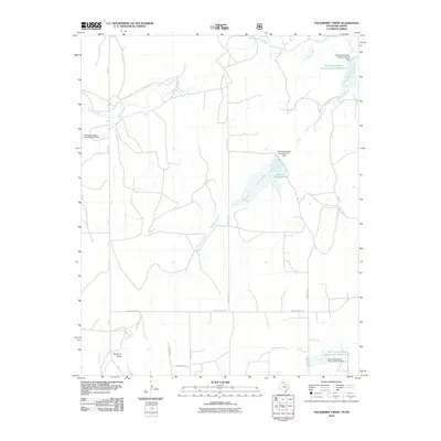
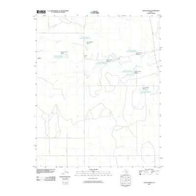
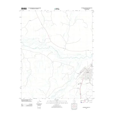
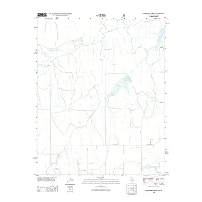
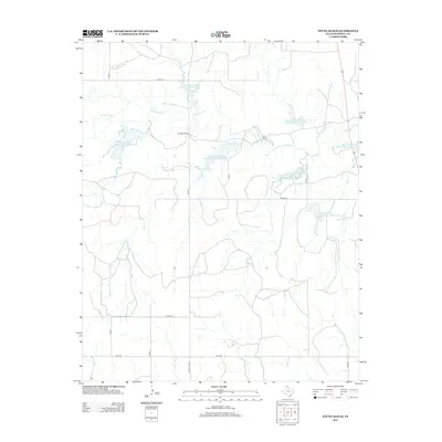
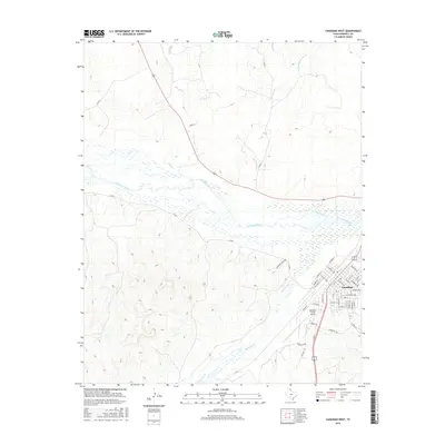
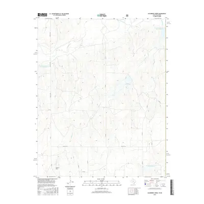
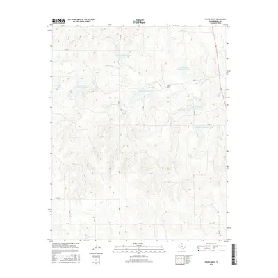
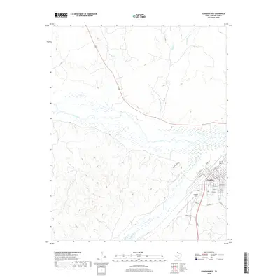
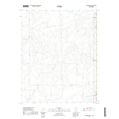
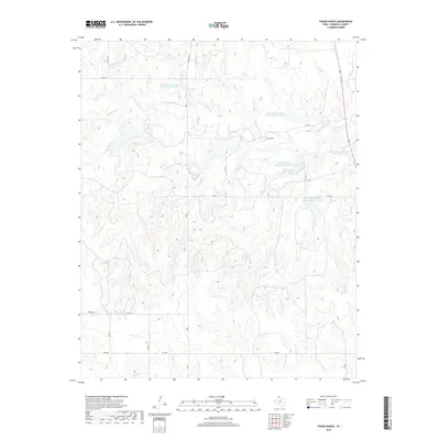
Gem sits at the heart of this Panhandle landscape, where the braided channels of the Canadian River dominate the northern terrain. The river is flanked by Sand Dunes and the Timber Lakes, creating a distinct topographical boundary between the water-cut lowlands and the higher plains to the south. This 1960s survey documents a rural environment defined by sparse settlement and functional land use, evidenced by the Henderson Landing Strip and a local Gravel Pit. Near Rattlesnake Hill, the map records essential local history markers like the Prairie Dell Cem. Significant infrastructure for water management is visible through specialized engineering notations such as Spillway Elev 2317, reflecting the region's reliance on managed water sources like Spring Creek and Big Lake during the mid-20th century.
Find a feature on this map
15 named features on this map. Tap any name to fly to it.
Don’t see what you’re looking for? This feature index may not catch every label — zoom into the map to look around manually.
Map Details
Editions of this 1967 Gem Map
This is the sole edition of this map. No revisions or reprints were ever made.
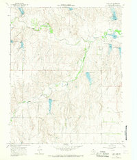
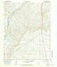
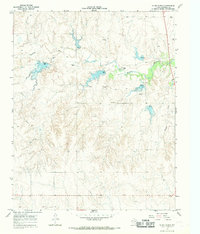
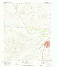
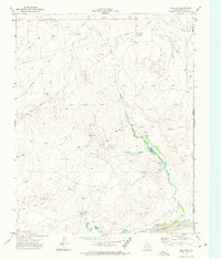
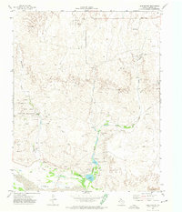
Historical Maps of Gem Through Time
73 maps found
1967 Blue Ridge School
Hemphill County, TX
1967 Canadian SE
Hemphill County, TX
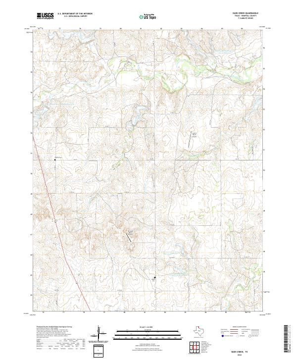
1967 Dads Creek
Hemphill County, TX
1967 Gem
Hemphill County, TX
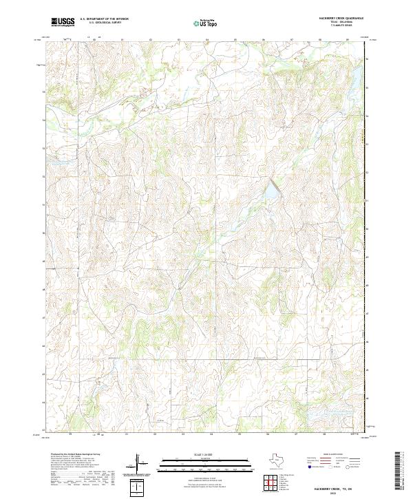
1967 Hackberry Creek
Hemphill County, TX
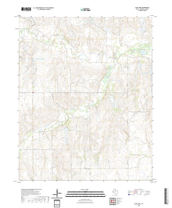
1967 Lake June
Hemphill County, TX
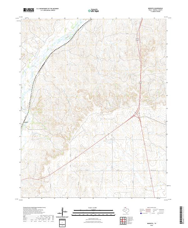
1967 Mendota
Hemphill County, TX
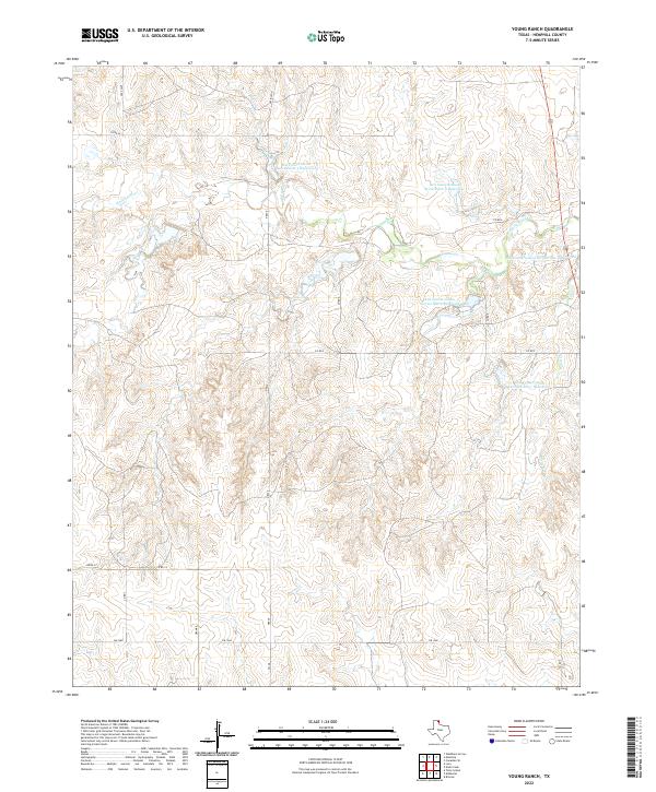
1967 Young Ranch
Hemphill County, TX
1972 Canadian East
Hemphill County, TX
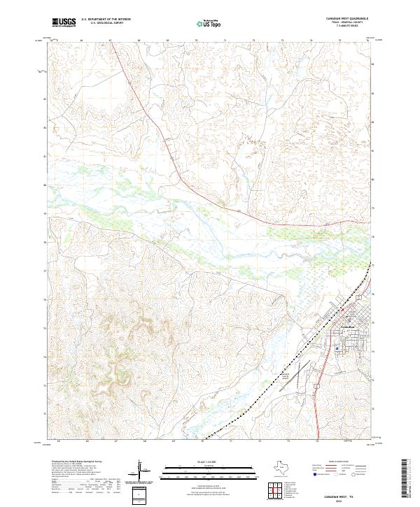
1972 Canadian West
Hemphill County, TX
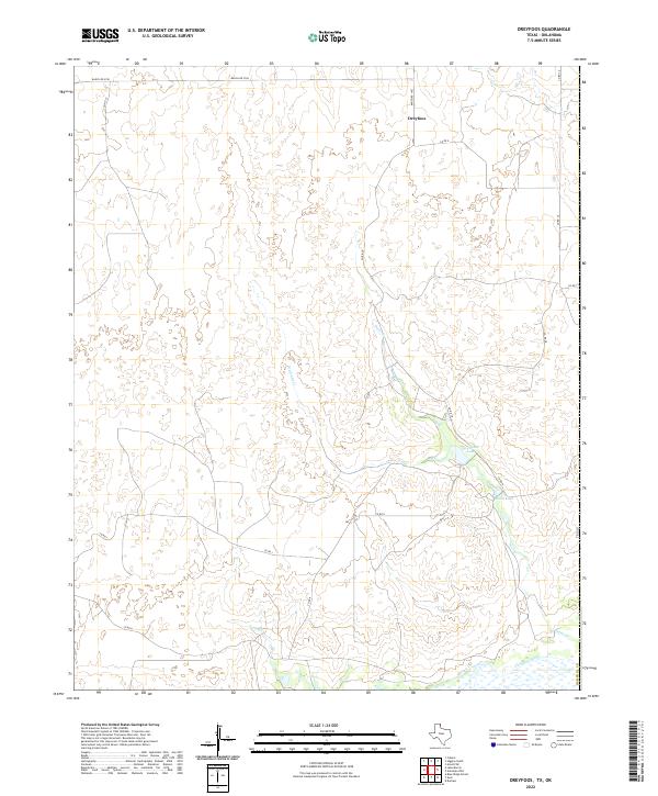
1972 Dreyfoos
Hemphill County, TX
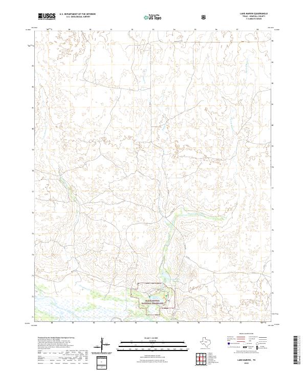
1972 Lake Marvin
Hemphill County, TX
1998 Lake Marvin
Hemphill County, TX
2010 Blue Ridge School
Hemphill County, TX
2010 Canadian East
Hemphill County, TX
2010 Canadian SE
Hemphill County, TX
2010 Canadian West
Hemphill County, TX
2010 Dads Creek
Hemphill County, TX
2010 Dreyfoos
Hemphill County, TX
2010 Gem
Hemphill County, TX
2010 Hackberry Creek
Hemphill County, TX
2010 Lake June
Hemphill County, TX
2010 Lake Marvin
Hemphill County, TX
2010 Mendota
Hemphill County, TX
2010 Young Ranch
Hemphill County, TX
2012 Blue Ridge School
Hemphill County, TX
2012 Canadian East
Hemphill County, TX
2012 Canadian SE
Hemphill County, TX
2012 Canadian West
Hemphill County, TX
2012 Dads Creek
Hemphill County, TX
2012 Dreyfoos
Hemphill County, TX
2012 Gem
Hemphill County, TX
2012 Hackberry Creek
Hemphill County, TX
2012 Lake June
Hemphill County, TX
2012 Lake Marvin
Hemphill County, TX
2012 Mendota
Hemphill County, TX
2012 Young Ranch
Hemphill County, TX
2016 Blue Ridge School
Hemphill County, TX
2016 Canadian East
Hemphill County, TX
2016 Canadian SE
Hemphill County, TX
2016 Canadian West
Hemphill County, TX
2016 Dads Creek
Hemphill County, TX
2016 Dreyfoos
Hemphill County, TX
2016 Gem
Hemphill County, TX
2016 Hackberry Creek
Hemphill County, TX
2016 Lake June
Hemphill County, TX
2016 Lake Marvin
Hemphill County, TX
2016 Mendota
Hemphill County, TX
2016 Young Ranch
Hemphill County, TX
2019 Blue Ridge School
Hemphill County, TX
2019 Canadian East
Hemphill County, TX
2019 Canadian SE
Hemphill County, TX
2019 Canadian West
Hemphill County, TX
2019 Dads Creek
Hemphill County, TX
2019 Dreyfoos
Hemphill County, TX
2019 Gem
Hemphill County, TX
2019 Hackberry Creek
Hemphill County, TX
2019 Lake June
Hemphill County, TX
2019 Lake Marvin
Hemphill County, TX
2019 Mendota
Hemphill County, TX
2019 Young Ranch
Hemphill County, TX
2022 Blue Ridge School
Hemphill County, TX
2022 Canadian East
Hemphill County, TX
2022 Canadian SE
Hemphill County, TX
2022 Canadian West
Hemphill County, TX
2022 Dads Creek
Hemphill County, TX
2022 Dreyfoos
Hemphill County, TX
2022 Gem
Hemphill County, TX
2022 Hackberry Creek
Hemphill County, TX
2022 Lake June
Hemphill County, TX
2022 Lake Marvin
Hemphill County, TX
2022 Mendota
Hemphill County, TX
2022 Young Ranch
Hemphill County, TX