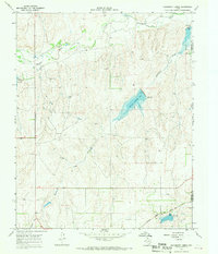
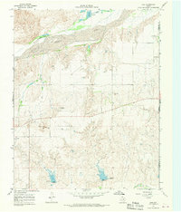
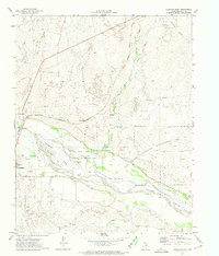
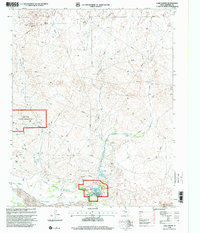
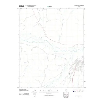
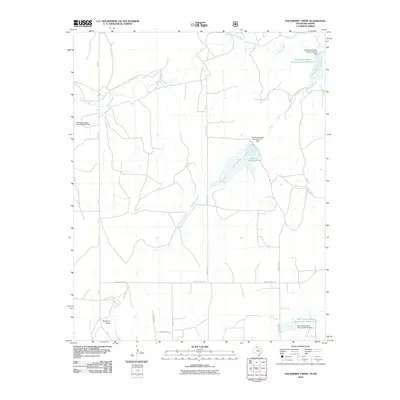
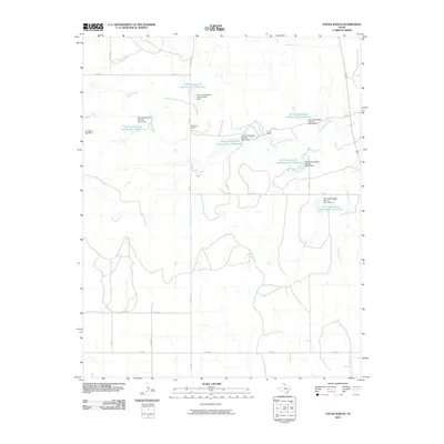
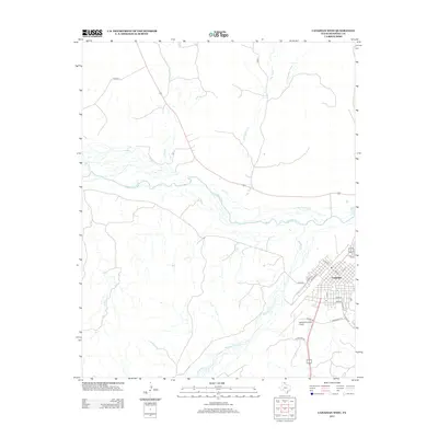
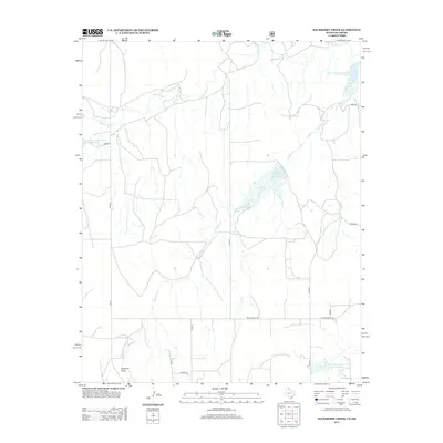
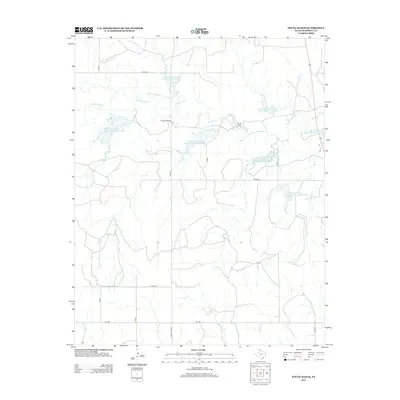
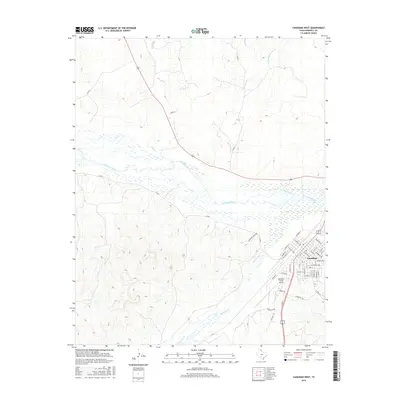
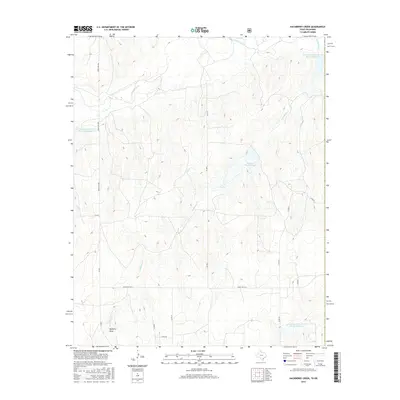
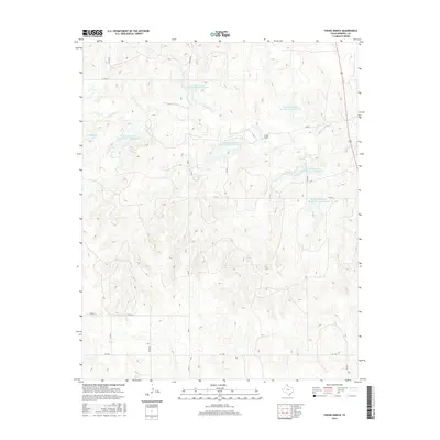
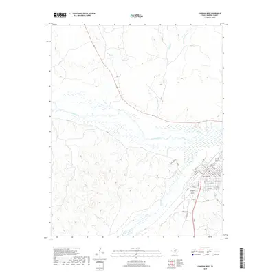
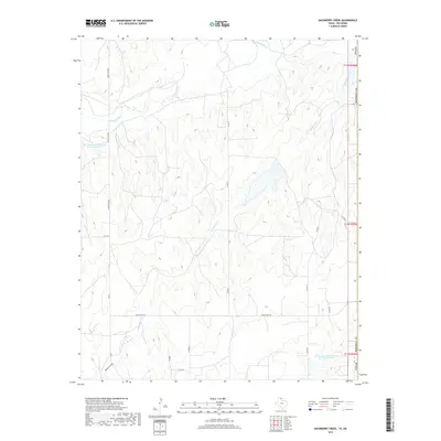
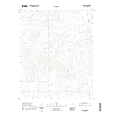
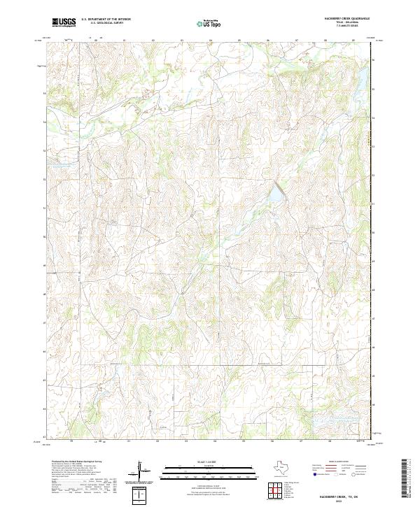
1967 Map of Hackberry Creek
USGS Topo · Published 1969About this map
The Washita River winds through this Panhandle landscape in Hemphill County, defining a territory where the High Plains meet the riparian corridors of the Hackberry Creek drainage. The 1967 terrain shows a working landscape shaped by both water management and industry, anchored by Huston - Stickley Lake and various Gas Well sites and a Gravel Pit. The map captures the infrastructure of the eastern Panhandle, including a segment of the Atchison Topeka and Santa Fe railroad cutting across the southeastern corner near the Oklahoma border. Local landmarks like Hext and Mulberry Draw provide specific points of reference for genealogists and local historians tracking family land or mid-century ranching developments. This era of the late 1960s is preserved here just as modern water development projects and energy extraction were maturing in the region.
Find a feature on this map
11 named features on this map. Tap any name to fly to it.
Don’t see what you’re looking for? This feature index may not catch every label — zoom into the map to look around manually.
Map Details
Editions of this 1967 Hackberry Creek Map
This is the sole edition of this map. No revisions or reprints were ever made.
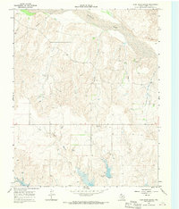
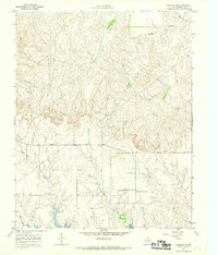
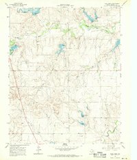
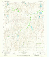
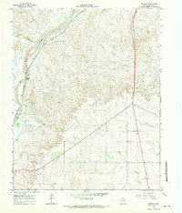
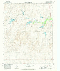
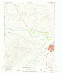
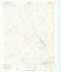
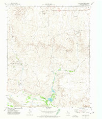
Historical Maps of Hemphill County Through Time
73 maps found
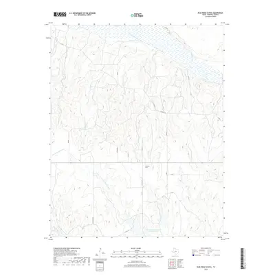
1967 Blue Ridge School
Hemphill County, TX
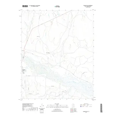
1967 Canadian SE
Hemphill County, TX
1967 Dads Creek
Hemphill County, TX
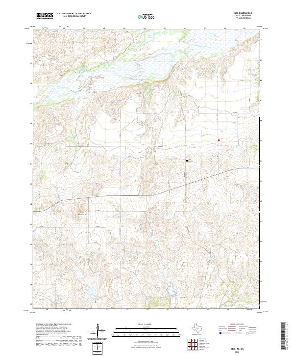
1967 Gem
Hemphill County, TX
1967 Hackberry Creek
Hemphill County, TX
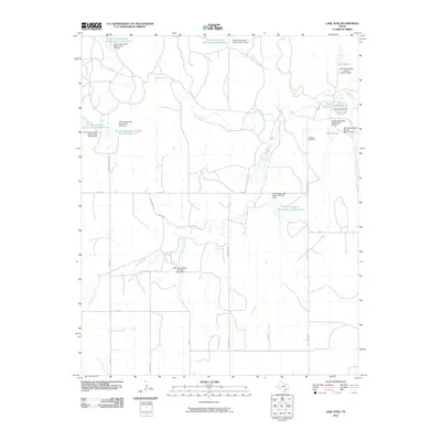
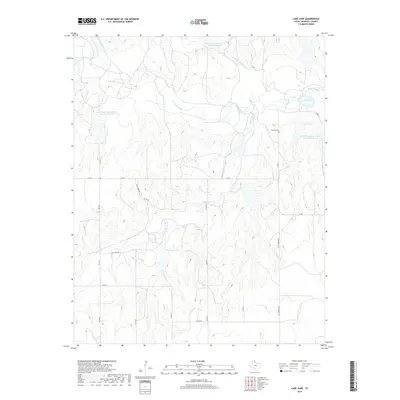
1967 Lake June
Hemphill County, TX
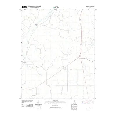
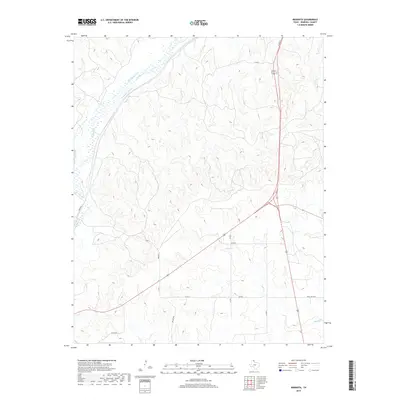
1967 Mendota
Hemphill County, TX
1967 Young Ranch
Hemphill County, TX
1972 Canadian East
Hemphill County, TX
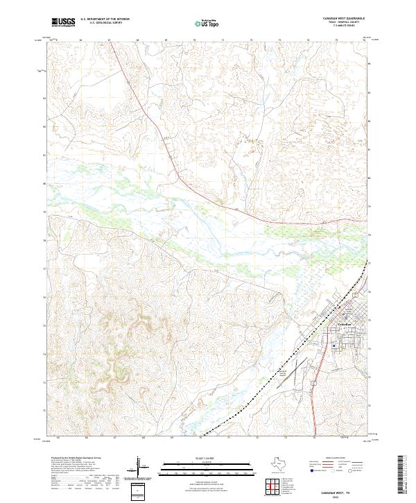
1972 Canadian West
Hemphill County, TX
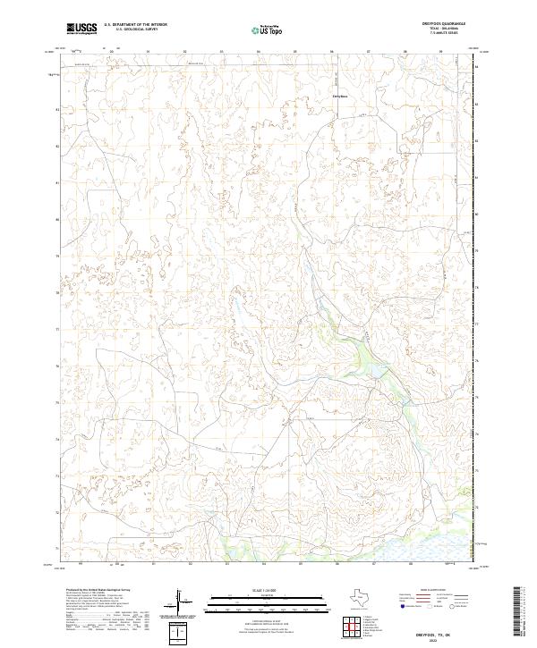
1972 Dreyfoos
Hemphill County, TX
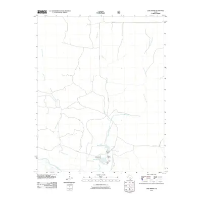
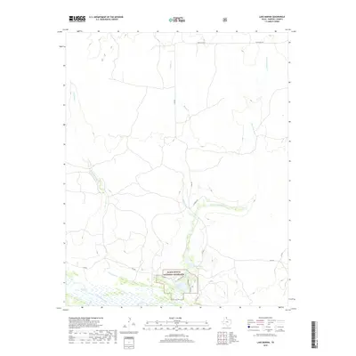
1972 Lake Marvin
Hemphill County, TX
1998 Lake Marvin
Hemphill County, TX
2010 Blue Ridge School
Hemphill County, TX
2010 Canadian East
Hemphill County, TX
2010 Canadian SE
Hemphill County, TX
2010 Canadian West
Hemphill County, TX
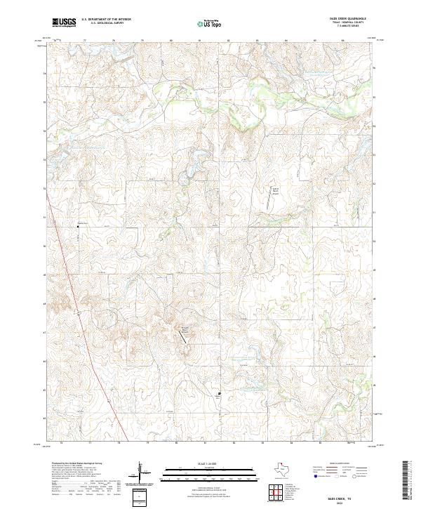
2010 Dads Creek
Hemphill County, TX
2010 Dreyfoos
Hemphill County, TX
2010 Gem
Hemphill County, TX
2010 Hackberry Creek
Hemphill County, TX
2010 Lake June
Hemphill County, TX
2010 Lake Marvin
Hemphill County, TX
2010 Mendota
Hemphill County, TX
2010 Young Ranch
Hemphill County, TX
2012 Blue Ridge School
Hemphill County, TX
2012 Canadian East
Hemphill County, TX
2012 Canadian SE
Hemphill County, TX
2012 Canadian West
Hemphill County, TX
2012 Dads Creek
Hemphill County, TX
2012 Dreyfoos
Hemphill County, TX
2012 Gem
Hemphill County, TX
2012 Hackberry Creek
Hemphill County, TX
2012 Lake June
Hemphill County, TX
2012 Lake Marvin
Hemphill County, TX
2012 Mendota
Hemphill County, TX
2012 Young Ranch
Hemphill County, TX
2016 Blue Ridge School
Hemphill County, TX
2016 Canadian East
Hemphill County, TX
2016 Canadian SE
Hemphill County, TX
2016 Canadian West
Hemphill County, TX
2016 Dads Creek
Hemphill County, TX
2016 Dreyfoos
Hemphill County, TX
2016 Gem
Hemphill County, TX
2016 Hackberry Creek
Hemphill County, TX
2016 Lake June
Hemphill County, TX
2016 Lake Marvin
Hemphill County, TX
2016 Mendota
Hemphill County, TX
2016 Young Ranch
Hemphill County, TX
2019 Blue Ridge School
Hemphill County, TX
2019 Canadian East
Hemphill County, TX
2019 Canadian SE
Hemphill County, TX
2019 Canadian West
Hemphill County, TX
2019 Dads Creek
Hemphill County, TX
2019 Dreyfoos
Hemphill County, TX
2019 Gem
Hemphill County, TX
2019 Hackberry Creek
Hemphill County, TX
2019 Lake June
Hemphill County, TX
2019 Lake Marvin
Hemphill County, TX
2019 Mendota
Hemphill County, TX
2019 Young Ranch
Hemphill County, TX
2022 Blue Ridge School
Hemphill County, TX
2022 Canadian East
Hemphill County, TX
2022 Canadian SE
Hemphill County, TX
2022 Canadian West
Hemphill County, TX
2022 Dads Creek
Hemphill County, TX
2022 Dreyfoos
Hemphill County, TX
2022 Gem
Hemphill County, TX
2022 Hackberry Creek
Hemphill County, TX
2022 Lake June
Hemphill County, TX
2022 Lake Marvin
Hemphill County, TX
2022 Mendota
Hemphill County, TX
2022 Young Ranch
Hemphill County, TX