1966 Map of Durham
USGS Topo · Published 1967About this map
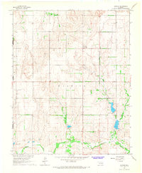
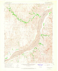
The Washita River winds through this western Oklahoma landscape, defining the southern border of a region where high plains topography meets the state's energy and agricultural history. Centered on the small community of Durham, the map illustrates a rural area marked by drainage patterns of Turkey Creek and Trunk Creek, which flow toward the river valley. Evidence of the mid-20th-century energy industry appears through several Gas Wells situated north of the river, reflecting the expansion of natural resource extraction in Roger Mills County. For those researching local families, the presence of Fairview Cem near the state line and Lindley Cem further south provides concrete points of reference for the families who settled this high-plains terrain along the Texas border.
Find a feature on this map
11 named features on this map. Tap any name to fly to it.
Don’t see what you’re looking for? This feature index may not catch every label — zoom into the map to look around manually.
Map Details
Editions of this 1966 Durham Map
This is the sole edition of this map. No revisions or reprints were ever made.
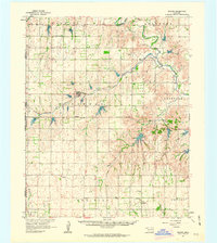
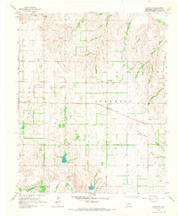
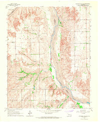
Other maps of this area

1954 · Amarillo
USGS Topo · 1:250,000

1955 · Clinton
USGS Topo · 1:250,000

1957 · Clinton
USGS Topo · 1:250,000

1958 · Amarillo
USGS Topo · 1:250,000
1961 · Reydon
USGS Topo · 1:62,500
1965 · Crawford
USGS Topo · 1:24,000
1966 · Antelope Hills NE
USGS Topo · 1:24,000
1966 · Antelope Hills
USGS Topo · 1:24,000
1967 · Gem
USGS Topo · 1:24,000
1967 · Hackberry Creek
USGS Topo · 1:24,000