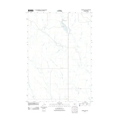
2012 Map of Durkee Lake
USGS Topo · Published 2012About this map
Durkee Lake serves as a central hydrological landmark in this part of Ziebach County, drawing the drainage of Spook Cr and supporting a rare point of pooled water in the prairie landscape. The area is defined by an intricate network of seasonal waterways, including the three distinct branches of Turtle Creek—the N Br Turtle Cr, W Br Turtle Cr, and E Br Turtle Cr—which carve shallow paths across the high plains. A handful of local thoroughfares, such as 171st Ave and the descriptively named Yachting Loop near the lakeshore, provide the only infrastructure in this sparsely settled region. The map captures the subtle topography where Red Scaffold Cr and Pretty Cr intersect the section-line road grid, reflecting the methodical organization of the South Dakota interior.
Find a feature on this map
11 named features on this map. Tap any name to fly to it.
Don’t see what you’re looking for? This feature index may not catch every label — zoom into the map to look around manually.
Map Details
Editions of this 2012 Durkee Lake Map
This is the sole edition of this map. No revisions or reprints were ever made.
Other maps of this area

1953 · Rapid City
USGS Topo · 1:250,000

1953 · McIntosh
USGS Topo · 1:250,000

1954 · Lemmon
USGS Topo · 1:250,000

1954 · Pierre
USGS Topo · 1:250,000

1957 · Lemmon
USGS Topo · 1:250,000

1957 · Rapid City
USGS Topo · 1:250,000

1958 · Pierre
USGS Topo · 1:250,000

1958 · McIntosh
USGS Topo · 1:250,000

1982 · Chasing Hawk Draw
USGS Topo · 1:24,000

1982 · Bessie Butte
USGS Topo · 1:24,000