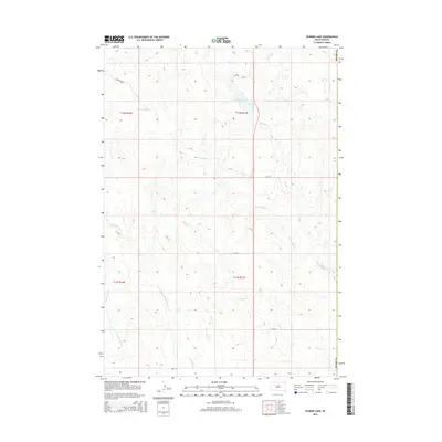
2015 Map of Durkee Lake
USGS Topo · Published 2015About this map
Durkee Lake sits as the central focal point of this rural prairie landscape in Ziebach County, South Dakota. The drainage patterns across this terrain are highly defined, characterized by the branching networks of Red Scaffold Cr, Spook Cr, and Pretty Cr as they weave through the surrounding grasslands. This 2015 survey illustrates a sparsely populated region primarily organized by a rigid section-line road system, including 169th St and 171st Ave. To the south, the headwaters of the Turtle Creek system emerge, shown here as the N Br Turtle Cr, W Br Turtle Cr, and E Br Turtle Cr. The map captures the quiet intersection of land and water in a remote portion of the state where the Meade County line forms the eastern boundary.
Find a feature on this map
18 named features on this map. Tap any name to fly to it.
Don’t see what you’re looking for? This feature index may not catch every label — zoom into the map to look around manually.
Map Details
Editions of this 2015 Durkee Lake Map
This is the sole edition of this map. No revisions or reprints were ever made.
Other maps of this area

1953 · Rapid City
USGS Topo · 1:250,000

1953 · McIntosh
USGS Topo · 1:250,000

1954 · Lemmon
USGS Topo · 1:250,000

1954 · Pierre
USGS Topo · 1:250,000

1957 · Lemmon
USGS Topo · 1:250,000

1957 · Rapid City
USGS Topo · 1:250,000

1958 · Pierre
USGS Topo · 1:250,000

1958 · McIntosh
USGS Topo · 1:250,000

1982 · Chasing Hawk Draw
USGS Topo · 1:24,000

1982 · Bessie Butte
USGS Topo · 1:24,000