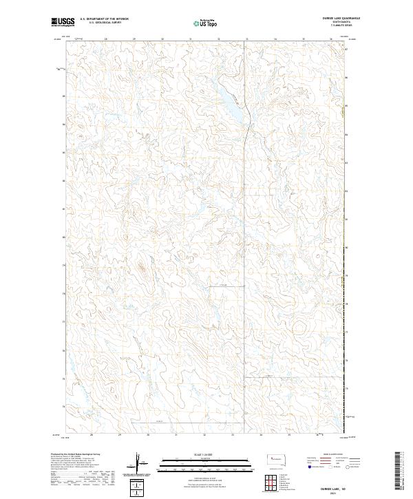
2021 Map of Durkee Lake
USGS Topo · Published 2021About this map
Red Scaffold Cr and Spook Cr wind through this part of Meade Co in the western South Dakota plains. The landscape is defined by the complex drainage patterns of the Turtle Creek system, including N Br Turtle Cr, E Br Turtle Cr, and W Br Turtle Cr. This modern survey illustrates the enduring rural character of the region, where a sparse network of section-line roads like 171st Ave and 174th St provides access across the open terrain. 73 serves as the primary north-south artery, passing near the curiously named Vichting Loop and Pretty Cr. The map preserves the specific Public Land Survey System boundaries, delineating townships like t12n r17e and t11n r16e, which remain foundational to local land ownership and genealogy.
Find a feature on this map
16 named features on this map. Tap any name to fly to it.
Don’t see what you’re looking for? This feature index may not catch every label — zoom into the map to look around manually.
Map Details
Editions of this 2021 Durkee Lake Map
This is the sole edition of this map. No revisions or reprints were ever made.
Other maps of this area

1953 · Rapid City
USGS Topo · 1:250,000

1953 · McIntosh
USGS Topo · 1:250,000

1954 · Lemmon
USGS Topo · 1:250,000

1954 · Pierre
USGS Topo · 1:250,000

1957 · Lemmon
USGS Topo · 1:250,000

1957 · Rapid City
USGS Topo · 1:250,000

1958 · Pierre
USGS Topo · 1:250,000

1958 · McIntosh
USGS Topo · 1:250,000

1982 · Chasing Hawk Draw
USGS Topo · 1:24,000

1982 · Bessie Butte
USGS Topo · 1:24,000