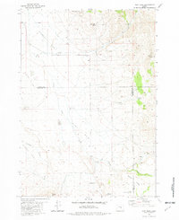
1981 Map of Dust Bowl
USGS Topo · Published 1982About this map
Street Flat and Misery Flat characterize this high-desert region of Central Oregon, where the harsh environmental reality is reflected in the local place names. Recorded in the late 1970s and early 1980s, the map reveals a landscape defined by water scarcity and cattle ranching at the intersection of Crook, Deschutes, and Harney counties. Isolated resources such as the Buck Creek Ranch and the Dust Bowl Well highlight the sparse human presence in this area.
Find a feature on this map
28 named features on this map. Tap any name to fly to it.
Don’t see what you’re looking for? This feature index may not catch every label — zoom into the map to look around manually.
Map Details
Editions of this 1981 Dust Bowl Map
This is the sole edition of this map. No revisions or reprints were ever made.
Other maps of this area

1955 · Crescent
USGS Topo · 1:250,000

1955 · Burns
USGS Topo · 1:250,000

1957 · Crescent
USGS Topo · 1:250,000

1958 · Crescent
USGS Topo · 1:250,000

1958 · Burns
USGS Topo · 1:250,000

1959 · Burns
USGS Topo · 1:250,000

1970 · Crescent
USGS Topo · 1:250,000

1981 · Hat Butte
USGS Topo · 1:24,000
1981 · Mackey Butte
USGS Topo · 1:24,000
1981 · Potato Hills
USGS Topo · 1:24,000