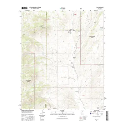
2017 Map of Dusty
USGS Topo · Published 2017About this map
The high-desert terrain of Dusty sits at the junction of the Gila National Forest and Cibola National Forest, where the boundary between Catron and Socorro Counties divides a landscape of deep draws and prominent summits. This 2017 survey shows a region defined by water management and topography, centered on the drainage of Alamosa Cr. High points like Rock Springs Peak and Patterson Peak overlook a network of canyons including Indian Spring Canyon and Little Pigeon Canyon.
Find a feature on this map
44 named features on this map. Tap any name to fly to it.
Don’t see what you’re looking for? This feature index may not catch every label — zoom into the map to look around manually.
Map Details
Editions of this 2017 Dusty Map
This is the sole edition of this map. No revisions or reprints were ever made.
Other maps of this area

1954 · Tularosa
USGS Topo · 1:250,000

1958 · Tularosa
USGS Topo · 1:250,000

1964 · Welty Hill
USGS Topo · 1:24,000

1964 · Bay Buck Peaks
USGS Topo · 1:24,000

1964 · Montoya Butte
USGS Topo · 1:24,000

1965 · Oak Peak
USGS Topo · 1:24,000

1965 · Dusty
USGS Topo · 1:24,000

1965 · Wahoo Peak
USGS Topo · 1:24,000

1979 · San Mateo Mountains
USGS Topo · 1:100,000
1981 · Luera Mountains East
USGS Topo · 1:24,000