
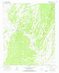
1964 Map of Montoya Butte
USGS Topo · Published 1966About this map
Monticello and Alamosa sit along the winding course of Alamosa Creek in this mid-1960s study of the northern Black Range foothills. The map reveals a high-desert landscape defined by complex drainage systems and volcanic landforms, including the prominent Montoya Butte and Black Mountain. A notable historical detail is the Old Indian Treaty Boundary running north-south through the western portion of the quadrangle, marking a significant legal and territorial line in the region's heritage.
Find a feature on this map
40 named features on this map. Tap any name to fly to it.
Don’t see what you’re looking for? This feature index may not catch every label — zoom into the map to look around manually.
Map Details
Editions of this 1964 Montoya Butte Map
2 editions found
Other maps of this area

1954 · Tularosa
USGS Topo · 1:250,000

1958 · Tularosa
USGS Topo · 1:250,000

1961 · Monticello
USGS Topo · 1:24,000

1964 · Welty Hill
USGS Topo · 1:24,000

1964 · Vicks Peak
USGS Topo · 1:24,000

1964 · Blue Mountain
USGS Topo · 1:24,000

1965 · Iron Mountain
USGS Topo · 1:24,000

1965 · Jaralosa Mountain
USGS Topo · 1:24,000

1965 · Dusty
USGS Topo · 1:24,000

1979 · Truth or Consequences
USGS Topo · 1:100,000