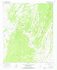
1964 Map of Montoya Butte
USGS Topo · Published 1978About this map
The Old Indian Treaty Boundary slices vertically through this Socorro County landscape, a stark reminder of historical territorial lines in the New Mexico canyonlands. Water is the primary driver of placement and naming here, centered around the drainage of Alamosa Creek. Key landmarks such as Ojo Caliente and the nearby Ruins indicate a long history of human presence near reliable water sources like Alum Spring.
Find a feature on this map
40 named features on this map. Tap any name to fly to it.
Don’t see what you’re looking for? This feature index may not catch every label — zoom into the map to look around manually.
Map Details
Editions of this 1964 Montoya Butte Map
2 editions found
Other maps of this area

1954 · Tularosa
USGS Topo · 1:250,000

1958 · Tularosa
USGS Topo · 1:250,000

1961 · Monticello
USGS Topo · 1:24,000

1964 · Welty Hill
USGS Topo · 1:24,000

1964 · Vicks Peak
USGS Topo · 1:24,000

1964 · Blue Mountain
USGS Topo · 1:24,000

1964 · Montoya Butte
USGS Topo · 1:24,000

1965 · Iron Mountain
USGS Topo · 1:24,000

1965 · Jaralosa Mountain
USGS Topo · 1:24,000

1965 · Dusty
USGS Topo · 1:24,000