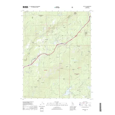
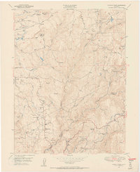
2018 Map of Dutch Flat
USGS Topo · Published 2018About this map
Dutch Flat and the surrounding Sierra Nevada foothills are depicted here in detail, showing a landscape defined by hydraulic mining history and modern transit corridors. Centered on the Tahoe National Forest, the map traces the deep incisions of the North Fork American River and the Bear River. Local history is preserved in names like Gold Mine Rd and Pulp Mill Ditch, reflecting the industrial past of settlements like Gold Run and Alta.
Find a feature on this map
121 named features on this map. Tap any name to fly to it.
Don’t see what you’re looking for? This feature index may not catch every label — zoom into the map to look around manually.
Map Details
Editions of this 2018 Dutch Flat Map
This is the sole edition of this map. No revisions or reprints were ever made.
Other maps of this area

1891 · Colfax
USGS Topo · 1:125,000

1892 · Colfax
USGS Topo · 1:125,000
1894 · Colfax
USGS Topo · 1:125,000
1898 · Colfax
USGS Topo · 1:125,000
1900 · Colfax
USGS Topo · 1:125,000
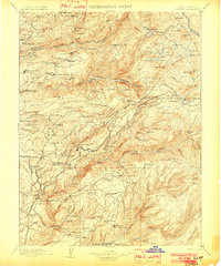
1902 · Colfax
USGS Topo · 1:125,000
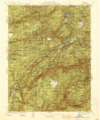
1938 · Colfax
USGS Topo · 1:125,000
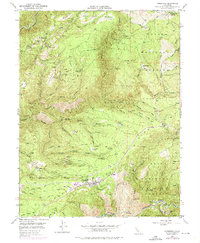
1948 · Foresthill
USGS Topo · 1:24,000
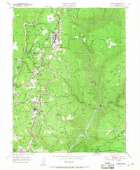
1949 · Colfax
USGS Topo · 1:24,000
1949 · Chicago Park
USGS Topo · 1:24,000