Loading...
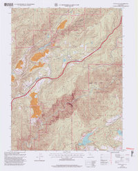
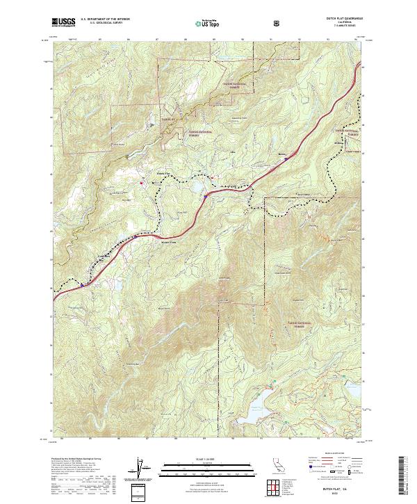
Loading map...2000 Map of Dutch Flat
USGS Topo · Published 2003About this map
Gold mining history is etched into the landscape surrounding Dutch Flat, where massive scars like Liberty Hill Diggings and Blue Devil Diggings remain visible within the Tahoe National Forest. This mapping, revised at the turn of the millennium, documents the complex topography of the Bear River and American River drainages, highlighting the persistent influence of the Southern Pacific railroad and the Emigrant Road on local development.
Find a feature on this map
58 named features on this map. Tap any name to fly to it.
Don’t see what you’re looking for? This feature index may not catch every label — zoom into the map to look around manually.
Map Details
Date Portrayed2000
Date Published2003
PublisherU.S. Geological Survey
Map TypeTopographic
Scale1:24000
Physical Dimensions21.9 x 27.2 inches
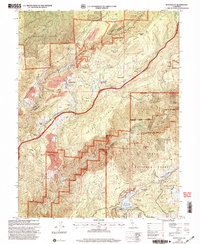
Editions of this 2000 Dutch Flat Map
2 editions found
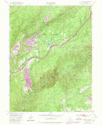
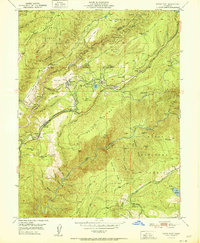
Historical Maps of Gold Run Through Time
4 maps found
Featured Locations
Source Details
SourceU.S. Geological Survey
CopyrightPublic Domain