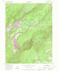
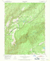
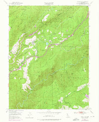
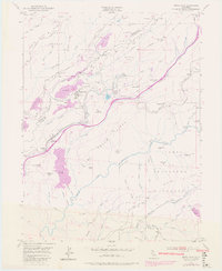
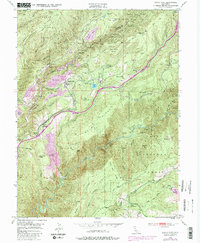
1950 Map of Dutch Flat
USGS Topo · Published 1980About this map
The gold mining heritage of Placer County is central to this mid-century survey, where the Southern Pacific railroad snakes through the Sierra Nevada foothills. Historic settlements like Dutch Flat and Gold Run anchor the landscape, while the presence of the Navy Red Mine and various Placer Mines indicates the area's continued industrial focus. The terrain is defined by deep canyons and prominent ridges, including Moody Ridge and the dramatic drop-off at Giant Gap overlooking the North Fork American River.
Find a feature on this map
64 named features on this map. Tap any name to fly to it.
Don’t see what you’re looking for? This feature index may not catch every label — zoom into the map to look around manually.
Map Details
Editions of this 1950 Dutch Flat Map
8 editions found
Other maps of this area

1891 · Colfax
USGS Topo · 1:125,000

1892 · Colfax
USGS Topo · 1:125,000

1894 · Colfax
USGS Topo · 1:125,000

1898 · Colfax
USGS Topo · 1:125,000

1900 · Colfax
USGS Topo · 1:125,000

1902 · Colfax
USGS Topo · 1:125,000

1938 · Colfax
USGS Topo · 1:125,000
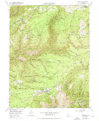
1948 · Foresthill
USGS Topo · 1:24,000
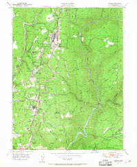
1949 · Colfax
USGS Topo · 1:24,000

1949 · Chicago Park
USGS Topo · 1:24,000