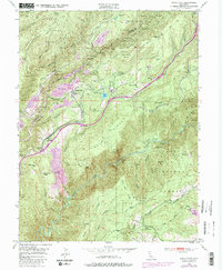
1950 Map of Dutch Flat
USGS Topo · Published 1980About this map
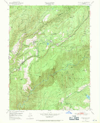
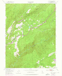
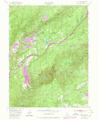
Dutch Flat and the surrounding Gold Country ridges are defined here by a massive legacy of hydraulic mining and mid-century utility infrastructure. The landscape is carved by historical operations like Nichols Diggings, Pug Ugly Diggings, and Little York Diggings, which left significant scars along the canyons of the Bear River. Transport and power dominate the central corridor, where the Southern Pacific railroad and the Boardman Canal traverse the steep terrain near Alta and Towle. The map reveals the intricate water management required for both mining and power generation, featuring the Drum Powerhouse and Lake Alta. Further south, the dramatic drop into the American River canyon is marked by landmarks like Lovers Leap and the deep gorge of Giant Gap, while local educational and social centers like Gold Run Sch anchor the small roadside settlements.
Find a feature on this map
70 named features on this map. Tap any name to fly to it.
Don’t see what you’re looking for? This feature index may not catch every label — zoom into the map to look around manually.
Map Details
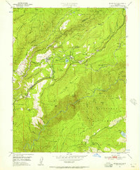
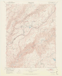
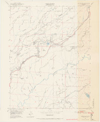
Editions of this 1950 Dutch Flat Map
8 editions found
Other maps of this area

1891 · Colfax
USGS Topo · 1:125,000

1892 · Colfax
USGS Topo · 1:125,000

1894 · Colfax
USGS Topo · 1:125,000

1898 · Colfax
USGS Topo · 1:125,000

1900 · Colfax
USGS Topo · 1:125,000

1902 · Colfax
USGS Topo · 1:125,000

1938 · Colfax
USGS Topo · 1:125,000
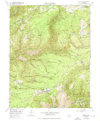
1948 · Foresthill
USGS Topo · 1:24,000
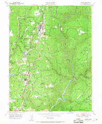
1949 · Colfax
USGS Topo · 1:24,000

1949 · Chicago Park
USGS Topo · 1:24,000