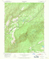
1950 Map of Dutch Flat
USGS Topo · Published 1971About this map
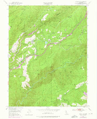
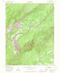
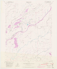
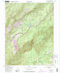
Dutch Flat and Gold Run serve as the primary anchors of this mid-century landscape, positioned along the critical transit corridor defined by U.S. 40 and the Southern Pacific railroad. The map documents a territory transitioning from its hydraulic mining origins toward modern hydroelectric infrastructure, visible in the presence of the Alta Powerhouse and Dutch Flat Powerhouse. While large-scale excavation remnants like the Liberty Hill Diggings and Little York Diggings dominate the northern terrain, localized operations such as the Stewart Gravel Mine and Harry Red Mine illustrate the persistent mineral interest in the area.
Find a feature on this map
63 named features on this map. Tap any name to fly to it.
Don’t see what you’re looking for? This feature index may not catch every label — zoom into the map to look around manually.
Map Details
Editions of this 1950 Dutch Flat Map
8 editions found
Other maps of this area

1891 · Colfax
USGS Topo · 1:125,000

1892 · Colfax
USGS Topo · 1:125,000

1894 · Colfax
USGS Topo · 1:125,000

1898 · Colfax
USGS Topo · 1:125,000

1900 · Colfax
USGS Topo · 1:125,000

1902 · Colfax
USGS Topo · 1:125,000

1938 · Colfax
USGS Topo · 1:125,000
1948 · Foresthill
USGS Topo · 1:24,000
1949 · Colfax
USGS Topo · 1:24,000

1949 · Chicago Park
USGS Topo · 1:24,000