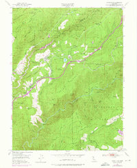
1950 Map of Dutch Flat
USGS Topo · Published 1976About this map
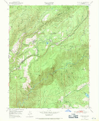
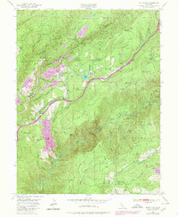
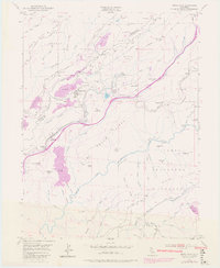
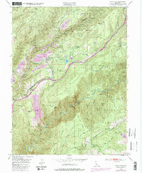
Dutch Flat and the surrounding Sierra Nevada foothills appear during a period of transition as historical hydraulic mining sites like Little York Diggings and Liberty Hill Diggings give way to hydroelectric power and mid-century transportation routes. The Southern Pacific railroad and the Boardman Canal wind through the steep canyons, reflecting the intensive water management required for both industry and transit in Placer County. The landscape is defined by its industrial history, including the Dutch Flat Powerhouse, the Narry Red Mine, and the Placer Mine, all situated within the Tahoe National Forest. Settlements such as Gold Run, Monte Vista, and Alta are connected by a network of trails and roads that traverse Moody Ridge and overlook the deep gorge of the North Fork American River. Details like the Gold Run Sch and Dutch Flat Sta provide critical reference points for local history.
Find a feature on this map
73 named features on this map. Tap any name to fly to it.
Don’t see what you’re looking for? This feature index may not catch every label — zoom into the map to look around manually.
Map Details
Editions of this 1950 Dutch Flat Map
8 editions found
Other maps of this area

1891 · Colfax
USGS Topo · 1:125,000

1892 · Colfax
USGS Topo · 1:125,000

1894 · Colfax
USGS Topo · 1:125,000

1898 · Colfax
USGS Topo · 1:125,000

1900 · Colfax
USGS Topo · 1:125,000

1902 · Colfax
USGS Topo · 1:125,000

1938 · Colfax
USGS Topo · 1:125,000
1948 · Foresthill
USGS Topo · 1:24,000
1949 · Colfax
USGS Topo · 1:24,000

1949 · Chicago Park
USGS Topo · 1:24,000