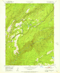
1950 Map of Dutch Flat
USGS Topo · Published 1957About this map
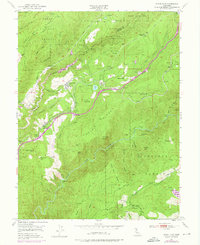
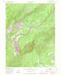
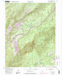
Dutch Flat and Gold Run anchor this survey of the Sierra Nevada foothills during the mid-century, a landscape deeply shaped by a century of mining. The topography is defined by the sharp descent from Moody Ridge into the North Fork American River at Giant Gap, while the northern portion of the map centers on the Bear River valley. This era shows the critical transportation and utility corridor following the ridge, where the Southern Pacific railroad and the U.S. Route 40 alignment navigate the complex terrain alongside the Boardman Canal. Evidence of the region’s hydraulic mining legacy remains visible in the extensive "diggings" labels, including Liberty Hill Diggings and the colorfully named Pug Ugly Diggings. Small mountain communities like Alta, Towle, and Baxter appear clustered near the rail line, while the Gold Run Sch and several powerhouses speak to the established local infrastructure of the 1950s.
Find a feature on this map
69 named features on this map. Tap any name to fly to it.
Don’t see what you’re looking for? This feature index may not catch every label — zoom into the map to look around manually.
Map Details
Editions of this 1950 Dutch Flat Map
8 editions found
Other maps of this area

1891 · Colfax
USGS Topo · 1:125,000

1892 · Colfax
USGS Topo · 1:125,000

1894 · Colfax
USGS Topo · 1:125,000

1898 · Colfax
USGS Topo · 1:125,000

1900 · Colfax
USGS Topo · 1:125,000

1902 · Colfax
USGS Topo · 1:125,000

1938 · Colfax
USGS Topo · 1:125,000
1948 · Foresthill
USGS Topo · 1:24,000
1949 · Colfax
USGS Topo · 1:24,000

1949 · Chicago Park
USGS Topo · 1:24,000