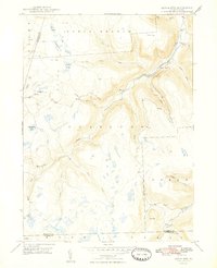
1948 Map of Dutch Mtn.
USGS Topo · Published 1948About this map
Dutch Mountain and the high plateaus of Pennsylvania's northern tier define this 1948 survey, where the rugged topography is marked by a network of upland bogs and narrow stream valleys. The settlement at Bellasylva and the southern cluster at Ricketts serve as focal points in a landscape characterized by diverse water features like Crane Swamp and Schmitthenner Lake. The presence of the Lehigh Valley railroad line winding through the southern terrain, near The Stack, highlights the era's reliance on rail transport for moving resources through these steep corridors.
Find a feature on this map
33 named features on this map. Tap any name to fly to it.
Don’t see what you’re looking for? This feature index may not catch every label — zoom into the map to look around manually.
Map Details
Editions of this 1948 Dutch Mtn. Map
2 editions found
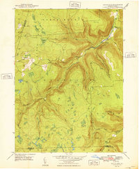
Other maps of this area

1891 · Harveys Lake
USGS Topo · 1:62,500

1893 · Harvey Lake
USGS Topo · 1:62,500

1934 · Laporte
USGS Topo · 1:62,500

1943 · Monroeton
USGS Topo · 1:62,500

1945 · Meshoppen
USGS Topo · 1:62,500

1945 · Jenningsville
USGS Topo · 1:24,000

1945 · Meshoppen
USGS Topo · 1:24,000

1946 · Dutch Mtn
USGS Topo · 1:24,000

1946 · Harveys Lake
USGS Topo · 1:24,000

1946 · Noxen
USGS Topo · 1:24,000
Featured Places
- Noxen Township, PA
- Colley Township, PA
- Forkston Township, PA
- Bellasylva, Forkston Township
- North Branch Township, PA