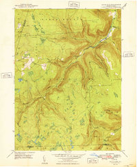
1948 Map of Dutch Mtn
USGS Topo · Published 1948About this map
Dutch Mountain and North Branch Mountain dominate this upland landscape in Wyoming and Sullivan counties. Surveyed in the 1940s, the map reveals a terrain defined by steep drainage basins and small high-elevation settlements like Bellasylva. The area is characterized by a dense network of watercourses, including Becker Brook and Santee Creek, which feed into larger arteries like the South Branch Mehoopany Creek.
Find a feature on this map
31 named features on this map. Tap any name to fly to it.
Don’t see what you’re looking for? This feature index may not catch every label — zoom into the map to look around manually.
Map Details
Editions of this 1948 Dutch Mtn Map
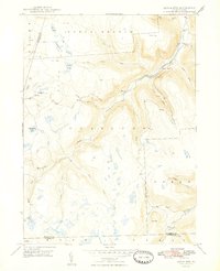
2 editions found
Other maps of this area

1891 · Harveys Lake
USGS Topo · 1:62,500

1893 · Harvey Lake
USGS Topo · 1:62,500

1934 · Laporte
USGS Topo · 1:62,500

1943 · Monroeton
USGS Topo · 1:62,500

1945 · Meshoppen
USGS Topo · 1:62,500

1945 · Jenningsville
USGS Topo · 1:24,000

1945 · Meshoppen
USGS Topo · 1:24,000

1946 · Dutch Mtn
USGS Topo · 1:24,000

1946 · Harveys Lake
USGS Topo · 1:24,000

1946 · Noxen
USGS Topo · 1:24,000
Featured Places
- Noxen Township, PA
- Colley Township, PA
- Forkston Township, PA
- Bellasylva, Forkston Township
- North Branch Township, PA