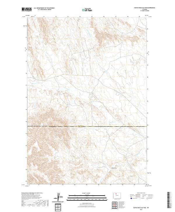
2021 Map of Dutch Nick Flat NW
USGS Topo · Published 2021About this map
Fifteenmile Creek and its seasonal tributaries define the arid drainage patterns across this high desert landscape along the border of Big Horn and Washakie counties. The area is marked by a network of ephemeral watercourses including Rock Waterhole Creek and Timber Creek, which cut through the undulating terrain near Bobcat Draw. This 2021 survey reflects the enduring cattle-country infrastructure of the Big Horn Basin, where the primary terrestrial route is the unpaved 15 Mile Road. The landscape is organized by the Public Land Survey System grids of t49n r97w and t48n r96w, illustrating how range management and property lines have been laid over this open Wyoming territory.
Find a feature on this map
10 named features on this map. Tap any name to fly to it.
Don’t see what you’re looking for? This feature index may not catch every label — zoom into the map to look around manually.
Map Details
Editions of this 2021 Dutch Nick Flat NW Map
This is the sole edition of this map. No revisions or reprints were ever made.
Other maps of this area

1951 · Sucker Dam
USGS Topo · 1:24,000

1951 · Dutch Nick Flat
USGS Topo · 1:24,000

1951 · Dutch Nick Flat SW
USGS Topo · 1:24,000

1951 · Gillies Draw
USGS Topo · 1:24,000

1951 · Sheep Mountain
USGS Topo · 1:24,000

1951 · Tatman Mountain
USGS Topo · 1:24,000

1951 · Wardel Reservoir
USGS Topo · 1:24,000

1951 · Dead Indian Hill
USGS Topo · 1:24,000

1951 · Dutch Nick Flat NW
USGS Topo · 1:24,000

1955 · Cody
USGS Topo · 1:250,000