Loading...
Loading map...2024 Map of Dutton
USGS Topo · Published 2024About this map
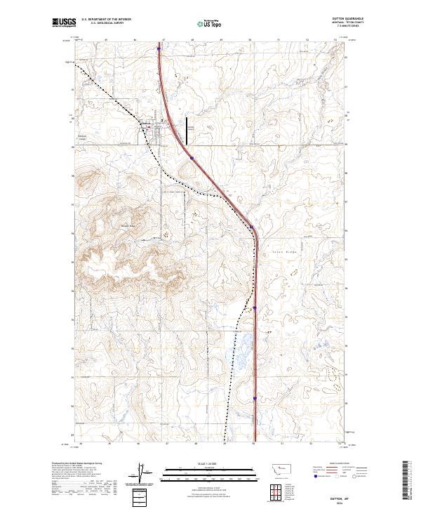
Dutton serves as the central hub for this portion of Teton County, with its grid extending between W Frontage Rd and the local Po. The town’s layout reflects the transit-oriented development of the northern plains, bordered to the west by the aptly named Railroad Coulee. Just north of the main settlement lies the Dutton Cem, a key landmark for local genealogists and historians tracing the families who settled this high-prairie region.
Find a feature on this map
28 named features on this map. Tap any name to fly to it.
Don’t see what you’re looking for? This feature index may not catch every label — zoom into the map to look around manually.
Map Details
Date Portrayed2024
Date Published2024
PublisherU.S. Geological Survey
Map TypeTopographic
Scale1:24000
Physical Dimensions24 x 29 inches
Editions of this 2024 Dutton Map
This is the sole edition of this map. No revisions or reprints were ever made.
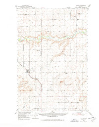
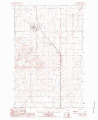
Historical Maps of Dutton Through Time
Featured Locations
Source Details
SourceU.S. Geological Survey
CopyrightPublic Domain