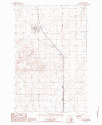
1987 Map of Dutton
USGS Topo · Published 1987About this map
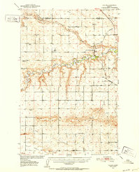
Dutton stands as a centralized prairie hub in the Teton County landscape during the late 1980s, defined by its methodical grid and connection to regional infrastructure. The town's local life is centered around the Dutton School and an adjacent Athletic Track, while a nearby Landing Strip and Sewage Lagoon mark the technological footprint of this rural Montana community.
Find a feature on this map
14 named features on this map. Tap any name to fly to it.
Don’t see what you’re looking for? This feature index may not catch every label — zoom into the map to look around manually.
Map Details
Editions of this 1987 Dutton Map
This is the sole edition of this map. No revisions or reprints were ever made.
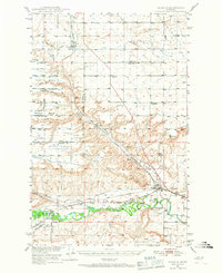
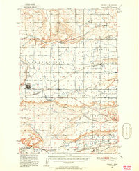
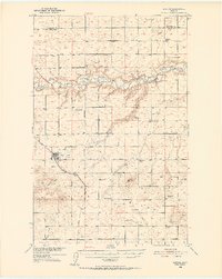
Other maps of this area

1886 · Great Falls
USGS Topo · 1:250,000
1949 · Vaughn
USGS Topo · 1:62,500
1950 · Fairfield
USGS Topo · 1:62,500
1950 · Dutton
USGS Topo · 1:62,500
1950 · Collins
USGS Topo · 1:62,500
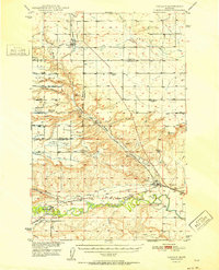
1952 · Vaughn
USGS Topo · 1:62,500

1954 · Great Falls
USGS Topo · 1:250,000

1957 · Great Falls
USGS Topo · 1:250,000

1976 · Great Falls North
USGS Topo · 1:100,000
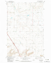
1983 · Vaughn NE
USGS Topo · 1:24,000