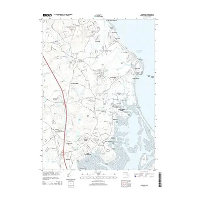
2015 Map of Duxbury
USGS Topo · Published 2015About this map
The Grave of Myles Standish and the Myles Standish Burying Ground anchor the historical landscape of the South Shore, where colonial lineage is deeply etched into the topography of Plymouth County. Coastal settlements like Brant Rock, Ocean Bluff, and Green Harbor define the Atlantic edge, while inland areas such as North Duxbury and Tarkiln reveal a dense network of local roads and water bodies including Furnace Pond and Island Cr Pond.
Find a feature on this map
147 named features on this map. Tap any name to fly to it.
Don’t see what you’re looking for? This feature index may not catch every label — zoom into the map to look around manually.
Map Details
Editions of this 2015 Duxbury Map
This is the sole edition of this map. No revisions or reprints were ever made.
Other maps of this area

1885 · Abington
USGS Topo · 1:62,500

1885 · Duxbury
USGS Topo · 1:62,500

1885 · Middleboro
USGS Topo · 1:62,500

1886 · Plymouth
USGS Topo · 1:62,500

1888 · Duxbury
USGS Topo · 1:62,500

1888 · Middleboro
USGS Topo · 1:62,500

1888 · Abington
USGS Topo · 1:62,500

1889 · Plymouth
USGS Topo · 1:62,500

1893 · Abington
USGS Topo · 1:62,500

1893 · Duxbury
USGS Topo · 1:62,500