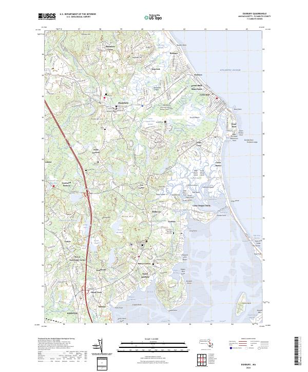
2024 Map of Duxbury
USGS Topo · Published 2024About this map
Marshfield Center and the coastal clusters of Ocean Bluff-Brant Rock anchor this modern topographical study of the Massachusetts shoreline. The map reveals a landscape heavily defined by its colonial-era legacy and maritime geography, stretching from the marshes of Green Harbor River to the protected waters of Duxbury Bay. Genealogical interest is particularly high here, as the map identifies several significant historical interment sites including the Myles Standish Burying Ground and Mayflower Cem, linking the modern township to its earliest settler origins.
Find a feature on this map
137 named features on this map. Tap any name to fly to it.
Don’t see what you’re looking for? This feature index may not catch every label — zoom into the map to look around manually.
Map Details
Editions of this 2024 Duxbury Map
This is the sole edition of this map. No revisions or reprints were ever made.
Other maps of this area

1885 · Abington
USGS Topo · 1:62,500

1885 · Duxbury
USGS Topo · 1:62,500

1885 · Middleboro
USGS Topo · 1:62,500

1886 · Plymouth
USGS Topo · 1:62,500

1888 · Duxbury
USGS Topo · 1:62,500

1888 · Middleboro
USGS Topo · 1:62,500

1888 · Abington
USGS Topo · 1:62,500

1889 · Plymouth
USGS Topo · 1:62,500

1893 · Abington
USGS Topo · 1:62,500

1893 · Duxbury
USGS Topo · 1:62,500