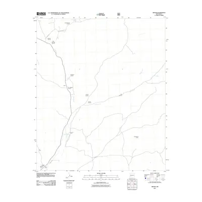
2011 Map of Dwyer
USGS Topo · Published 2011About this map
The Mimbres River drainage defines this southern New Mexico landscape, serving as a corridor for settlement and agriculture in Grant County. At the southern end of the valley, the small community of Dwyer is anchored by the Faywood Post Office and nearby large agricultural holdings like the Nan Ranch. The valley floor is bounded by complex canyon systems, including Gallinas Canyon and Tom Brown Canyon, while upland roads like Royal John Mine Rd hint at the region's historical mining activity.
Find a feature on this map
23 named features on this map. Tap any name to fly to it.
Don’t see what you’re looking for? This feature index may not catch every label — zoom into the map to look around manually.
Map Details
Editions of this 2011 Dwyer Map
This is the sole edition of this map. No revisions or reprints were ever made.
Other maps of this area
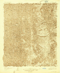
1935 · Hillsboro
USGS Topo · 1:48,000
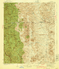
1940 · Hillsboro
USGS Topo · 1:62,500
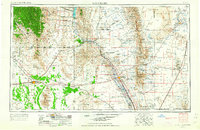
1955 · Las Cruces
USGS Topo · 1:250,000
1956 · Dwyer
USGS Topo · 1:62,500
1956 · San Lorenzo
USGS Topo · 1:62,500
1958 · Las Cruces
USGS Topo · 1:250,000
1962 · Lake Valley
USGS Topo · 1:62,500
1982 · Hatch
USGS Topo · 1:100,000
1985 · Dwyer
USGS Topo · 1:24,000
1985 · P A Mountain
USGS Topo · 1:24,000