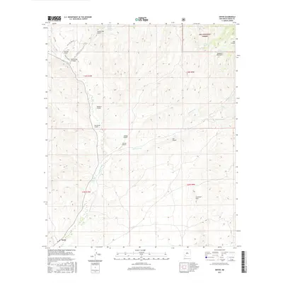
2017 Map of Dwyer
USGS Topo · Published 2017About this map
Mimbres River drainage defines the central corridor of this Grant County landscape, providing a critical water source in an area of high-desert canyons and peaks. The settlement of Dwyer sits in the southwestern reaches, while the northern terrain is marked by thermal activity at Mimbres Hot Springs and Mimbres Cold Springs. The map reveals a network of canyons named for early inhabitants and geographic features, including Donahue Canyon, Tom Brown Canyon, and Gallinas Canyon. Access to the higher elevations of the Mimbres Mountains and the Gila National Forest is facilitated by routes like Royal John Mine Rd and Taylor Graham, pointing to the region's history of mineral exploration and ranching. The presence of Dwyer Reservoir and Parra Tank highlights the vital infrastructure used to manage water for livestock and local use in this arid environment.
Find a feature on this map
28 named features on this map. Tap any name to fly to it.
Don’t see what you’re looking for? This feature index may not catch every label — zoom into the map to look around manually.
Map Details
Editions of this 2017 Dwyer Map
This is the sole edition of this map. No revisions or reprints were ever made.
Other maps of this area

1935 · Hillsboro
USGS Topo · 1:48,000

1940 · Hillsboro
USGS Topo · 1:62,500

1955 · Las Cruces
USGS Topo · 1:250,000

1956 · Dwyer
USGS Topo · 1:62,500

1956 · San Lorenzo
USGS Topo · 1:62,500

1958 · Las Cruces
USGS Topo · 1:250,000

1962 · Lake Valley
USGS Topo · 1:62,500

1982 · Hatch
USGS Topo · 1:100,000
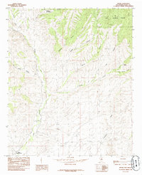
1985 · Dwyer
USGS Topo · 1:24,000
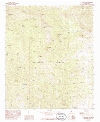
1985 · P A Mountain
USGS Topo · 1:24,000