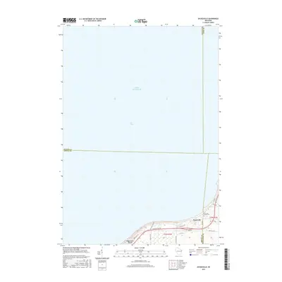
2015 Map of Dyckesville
USGS Topo · Published 2015About this map
Green Bay and Lake Michigan dominate this 2015 study, which captures the coastal transition where Brown, Door, Kewaunee, and Oconto counties converge. The settlement of Dyckesville serves as the focal point for this lakeshore region, situated along the southern reaches of the bay. Inland, the map illustrates the rural landscape shaped by Gibson Cr and a network of local roads such as Sturgeon Bay Rd and Sunset Bluff Dr.
Find a feature on this map
26 named features on this map. Tap any name to fly to it.
Don’t see what you’re looking for? This feature index may not catch every label — zoom into the map to look around manually.
Map Details
Editions of this 2015 Dyckesville Map
This is the sole edition of this map. No revisions or reprints were ever made.
Other maps of this area
1952 · Casco
USGS Topo · 1:62,500
1954 · New Franken
USGS Topo · 1:62,500
1954 · Green Bay East
USGS Topo · 1:24,000

1954 · Manitowoc
USGS Topo · 1:250,000
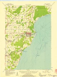
1956 · Oconto
USGS Topo · 1:62,500

1958 · Manitowoc
USGS Topo · 1:250,000
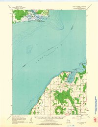
1961 · Little Sturgeon
USGS Topo · 1:62,500
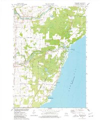
1974 · Pensaukee
USGS Topo · 1:24,000
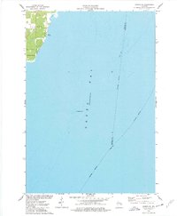
1974 · Oconto SE
USGS Topo · 1:24,000
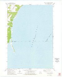
1974 · Little Tail Point
USGS Topo · 1:24,000