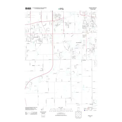
2013 Map of Dyer
USGS Topo · Published 2013About this map
Lincolnshire and Willowbrook anchor this landscape along the Illinois and Indiana border, showing the dense residential suburbanization of the early 21st century. The map is defined by the wandering course of Plum Creek as it flows north toward the state line, carving through a mix of established neighborhoods and recreational spaces like Camp Crete and the Lincoln Oaks Golf Course. Smaller settlements like Kreitzburg, Faithorn, and Brunswick punctuate the more open southern and eastern areas, marking the transition from the organized street grids of the north to larger rural parcels.
Find a feature on this map
109 named features on this map. Tap any name to fly to it.
Don’t see what you’re looking for? This feature index may not catch every label — zoom into the map to look around manually.
Map Details
Editions of this 2013 Dyer Map
This is the sole edition of this map. No revisions or reprints were ever made.
Other maps of this area

1892 · Calumet
USGS Topo · 1:62,500

1893 · Calumet
USGS Topo · 1:62,500

1900 · Toleston
USGS Topo · 1:62,500

1900 · Calumet
USGS Topo · 1:62,500

1901 · Calumet
USGS Topo · 1:62,500

1929 · Calumet City
USGS Topo · 1:24,000

1929 · Harvey
USGS Topo · 1:24,000

1929 · Dyer
USGS Topo · 1:24,000

1930 · Dyer
USGS Topo · 1:24,000

1930 · Steger
USGS Topo · 1:24,000