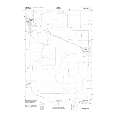
2010 Map of Dyersville East
USGS Topo · Published 2010About this map
The Field of Dreams movie site and landmark remains a prominent feature of the rural landscape north of Dyersville, where the Iowa countryside is defined by the winding course of the North Fork Maquoketa River. This survey captures the eastern edge of the community at a time of established growth, connecting it to neighboring settlements like Farley and Worthington via a network of country roads such as Olde Hawkeye Rd and Olde Farley Rd.
Find a feature on this map
57 named features on this map. Tap any name to fly to it.
Don’t see what you’re looking for? This feature index may not catch every label — zoom into the map to look around manually.
Map Details
Editions of this 2010 Dyersville East Map
This is the sole edition of this map. No revisions or reprints were ever made.
Other maps of this area

1900 · Anamosa
USGS Topo · 1:125,000

1900 · Lancaster
USGS Topo · 1:125,000

1901 · Peosta
USGS Topo · 1:125,000

1902 · Elkader
USGS Topo · 1:125,000

1904 · Lancaster
USGS Topo · 1:125,000

1908 · Lancaster
USGS Topo · 1:125,000

1957 · Holy Cross
USGS Topo · 1:24,000

1959 · Dubuque
USGS Topo · 1:250,000

1961 · Dubuque
USGS Topo · 1:250,000

1962 · Dubuque
USGS Topo · 1:250,000