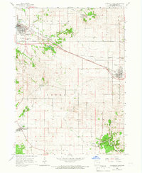
1965 Map of Dyersville East
USGS Topo · Published 1967About this map
Dyersville and its surrounding townships in Dubuque County are defined by a dense network of mid-century rail lines and agricultural boundaries during the mid-1960s. The convergence of the Chicago Great Western and the Chicago Illinois Central railroads creates a distinct industrial corridor through the northern half of the region, while the C M St P & P line services Worthington to the south. This era shows the local landscape transitioning from purely agrarian roots to more organized municipal development, evidenced by the established Corporate Boundary and the proximity of numerous local quarries.
Find a feature on this map
29 named features on this map. Tap any name to fly to it.
Don’t see what you’re looking for? This feature index may not catch every label — zoom into the map to look around manually.
Map Details
Editions of this 1965 Dyersville East Map
This is the sole edition of this map. No revisions or reprints were ever made.
Other maps of this area

1900 · Anamosa
USGS Topo · 1:125,000

1900 · Lancaster
USGS Topo · 1:125,000

1901 · Peosta
USGS Topo · 1:125,000

1902 · Elkader
USGS Topo · 1:125,000

1904 · Lancaster
USGS Topo · 1:125,000

1908 · Lancaster
USGS Topo · 1:125,000

1957 · Holy Cross
USGS Topo · 1:24,000

1959 · Dubuque
USGS Topo · 1:250,000

1961 · Dubuque
USGS Topo · 1:250,000

1962 · Dubuque
USGS Topo · 1:250,000