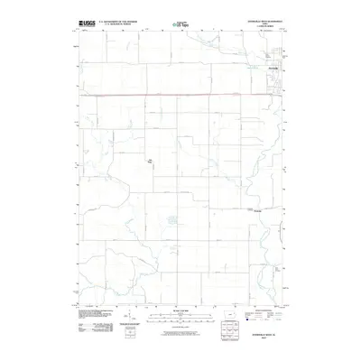
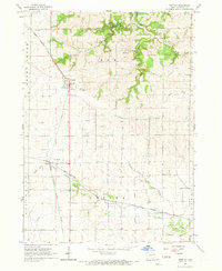
2010 Map of Dyersville West
USGS Topo · Published 2010About this map
The North Fork Maquoketa River carves through this Dubuque and Delaware County borderland, defining a landscape dominated by the agricultural grid and several watercourses including Plum Creek and Silver Creek. The eastern edge of the survey captures the outskirts of Dyersville, where the industrial and residential footprint meets Tegeler Pond and Bear Creek. Genealogists will find significant detail in the placement of area burial grounds, notably Saint Francis Cemetery near the city and Saint Pauls Cemetery to the south.
Find a feature on this map
45 named features on this map. Tap any name to fly to it.
Don’t see what you’re looking for? This feature index may not catch every label — zoom into the map to look around manually.
Map Details
Editions of this 2010 Dyersville West Map
This is the sole edition of this map. No revisions or reprints were ever made.
Other maps of this area

1900 · Anamosa
USGS Topo · 1:125,000

1902 · Elkader
USGS Topo · 1:125,000

1959 · Dubuque
USGS Topo · 1:250,000

1961 · Dubuque
USGS Topo · 1:250,000

1962 · Dubuque
USGS Topo · 1:250,000
1962 · New Vienna
USGS Topo · 1:24,000

1962 · Petersburg
USGS Topo · 1:24,000
1965 · Dyersville West
USGS Topo · 1:24,000
1965 · Dyersville East
USGS Topo · 1:24,000
1965 · Greeley
USGS Topo · 1:24,000