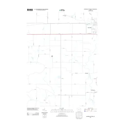
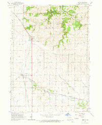
2013 Map of Dyersville West
USGS Topo · Published 2013About this map
Dyersville anchors the northeastern corner of this landscape, where the local road network transitions from the residential streets of 8th St NW and 3rd St SW to the expansive agricultural lands to the west. A notable cultural landmark, Field Of Dreams Way, runs just south of the town center, acknowledging the area's cinematic ties. The terrain is defined by a dendritic drainage pattern of creeks including Silver Creek, Cooksley Creek, and Plum Creek, all winding through the farmland toward the N Fork Maquoketa River. Small, rural settlements like Rockville and Gilt Edge are situated at key road intersections, reflecting a long-standing pattern of dispersed midwestern farming communities. In the south, the village of Worthington sits near the confluence of Durion Creek, while the Dyersville Area Airport serves as a modern aviation hub for the surrounding Dubuque and Delaware County borderlands.
Find a feature on this map
59 named features on this map. Tap any name to fly to it.
Don’t see what you’re looking for? This feature index may not catch every label — zoom into the map to look around manually.
Map Details
Editions of this 2013 Dyersville West Map
This is the sole edition of this map. No revisions or reprints were ever made.
Other maps of this area

1900 · Anamosa
USGS Topo · 1:125,000

1902 · Elkader
USGS Topo · 1:125,000

1959 · Dubuque
USGS Topo · 1:250,000

1961 · Dubuque
USGS Topo · 1:250,000

1962 · Dubuque
USGS Topo · 1:250,000
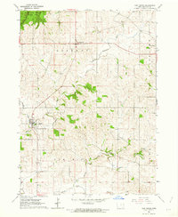
1962 · New Vienna
USGS Topo · 1:24,000

1962 · Petersburg
USGS Topo · 1:24,000
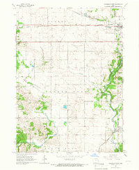
1965 · Dyersville West
USGS Topo · 1:24,000
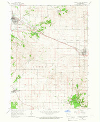
1965 · Dyersville East
USGS Topo · 1:24,000
1965 · Greeley
USGS Topo · 1:24,000