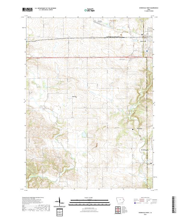
2022 Map of Dyersville West
USGS Topo · Published 2022About this map
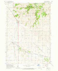
The North Fork Maquoketa River carves a winding path through this corner of eastern Iowa, defining the drainage patterns for numerous tributaries like Plum Creek and Cooksley Cr. In the northern reaches, the city of Dyersville serves as a primary hub, adjacent to the Dyersville Area Airport and the managed waters of Tegeler Pond. This survey illustrates the transition from urbanized street grids to the expansive section-line road network that characterizes the agricultural interior of the county.
Find a feature on this map
47 named features on this map. Tap any name to fly to it.
Don’t see what you’re looking for? This feature index may not catch every label — zoom into the map to look around manually.
Map Details
Editions of this 2022 Dyersville West Map
This is the sole edition of this map. No revisions or reprints were ever made.
Other maps of this area

1900 · Anamosa
USGS Topo · 1:125,000

1902 · Elkader
USGS Topo · 1:125,000

1959 · Dubuque
USGS Topo · 1:250,000

1961 · Dubuque
USGS Topo · 1:250,000

1962 · Dubuque
USGS Topo · 1:250,000
1962 · New Vienna
USGS Topo · 1:24,000

1962 · Petersburg
USGS Topo · 1:24,000
1965 · Dyersville West
USGS Topo · 1:24,000
1965 · Dyersville East
USGS Topo · 1:24,000
1965 · Greeley
USGS Topo · 1:24,000