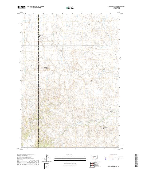
2021 Map of Eagle Mans Butte
USGS Topo · Published 2021About this map
Eagle Mans Butte rises as a prominent landmark in this prairie landscape along the Bennett and Todd County border. This high plains region is defined by a dense network of seasonal drainages, including Eagle Chief Creek, Black Elk Creek, and Red Leaf Creek, which carve into the terrain. The presence of Saint Stephen Cemetery and Epiphany Cemetery provides specific points of interest for genealogists tracing local history in this part of South Dakota. The land is navigated by rural routes such as Whipple Road and He Dog Road, connecting remote landmarks like Black Crow Spring. The mapping of these watercourses and named buttes reveals a complex topography of ridges and draws that shaped early cattle ranching and settlement patterns in the state's southwestern interior.
Find a feature on this map
19 named features on this map. Tap any name to fly to it.
Don’t see what you’re looking for? This feature index may not catch every label — zoom into the map to look around manually.
Map Details
Editions of this 2021 Eagle Mans Butte Map
This is the sole edition of this map. No revisions or reprints were ever made.
Other maps of this area

1955 · Martin
USGS Topo · 1:250,000

1958 · Martin
USGS Topo · 1:250,000

1969 · Norris
USGS Topo · 1:24,000

1969 · Eagle Mans Butte
USGS Topo · 1:24,000

1969 · Parmelee NE
USGS Topo · 1:24,000

1969 · Parmelee
USGS Topo · 1:24,000

1969 · Iron Shell Flat East
USGS Topo · 1:24,000

1969 · Iron Shell Flat West
USGS Topo · 1:24,000

1981 · Long Valley
USGS Topo · 1:25,000

1981 · Blackpipe
USGS Topo · 1:25,000