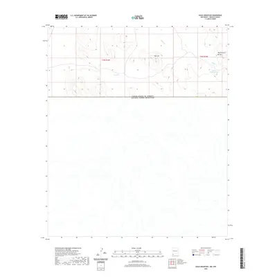
2020 Map of Eagle Mountain
USGS Topo · Published 2020About this map
The international border between the United States of America and Mexico bisects this remote reach of Hidalgo County, defined by its high-desert water management and prominent peaks. High points like Eagle Mtn and the Dog Mountains dominate the northern half of the quadrangle, where the terrain falls away toward the border. Life in this arid landscape is marked by essential water catchments such as Big Tank and Middle Mountain Tank, which serve as critical landmarks for local land use. These features, along with drainage from Willow Cr and the presence of Mid Mtn, illustrate the vital relationship between topography and survival in the borderlands. The map provides a clear view of the Public Land Survey System divisions, including t34s r16w and t34s r15w, which organize this sparsely populated region.
Find a feature on this map
9 named features on this map. Tap any name to fly to it.
Don’t see what you’re looking for? This feature index may not catch every label — zoom into the map to look around manually.
Map Details
Editions of this 2020 Eagle Mountain Map
This is the sole edition of this map. No revisions or reprints were ever made.
Other maps of this area
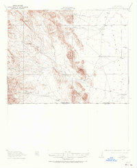
1917 · Antelope Wells
USGS Topo · 1:62,500
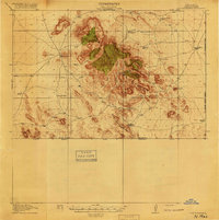
1918 · Dog Mountains
USGS Topo · 1:62,500
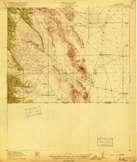
1919 · Antelope Wells
USGS Topo · 1:62,500
1955 · Douglas
USGS Topo · 1:250,000
1959 · Douglas
USGS Topo · 1:250,000
1961 · Douglas
USGS Topo · 1:250,000
1964 · Douglas
USGS Topo · 1:250,000
1982 · Pierce Peak
USGS Topo · 1:24,000
1982 · Hilo Peak
USGS Topo · 1:24,000
1982 · Sentinel Butte
USGS Topo · 1:24,000