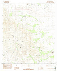
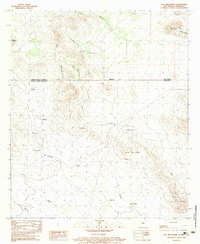
1982 Map of Pierce Peak
USGS Topo · Published 1982About this map
The Alamo Hueco Mountains dominate this high-desert landscape in southern New Mexico, as documented in this 1982 survey. Water sources are the defining features of this arid terrain, with numerous man-made and natural points of interest including The Thicket Spring, Cottonwood Spring, and several named water catchments like Mc Farlands Tank and Horse Canyon Tanks. These features highlight the reliance on specific water points for livestock or local wildlife management during this era.
Find a feature on this map
26 named features on this map. Tap any name to fly to it.
Don’t see what you’re looking for? This feature index may not catch every label — zoom into the map to look around manually.
Map Details
Editions of this 1982 Pierce Peak Map
This is the sole edition of this map. No revisions or reprints were ever made.
Other maps of this area

1918 · Big Hatchet Peak
USGS Topo · 1:62,500

1918 · Dog Mountains
USGS Topo · 1:62,500

1955 · Douglas
USGS Topo · 1:250,000

1959 · Douglas
USGS Topo · 1:250,000

1961 · Douglas
USGS Topo · 1:250,000

1964 · Douglas
USGS Topo · 1:250,000
1982 · Sheridan Canyon
USGS Topo · 1:24,000
1982 · U Bar Ridge
USGS Topo · 1:24,000
1982 · Sentinel Butte
USGS Topo · 1:24,000
1983 · Dog Mountains
USGS Topo · 1:24,000